
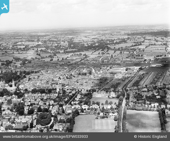
EPW033933 ENGLAND (1930). The town centre, Rugby, from the south, 1930
© Hawlfraint cyfranwyr OpenStreetMap a thrwyddedwyd gan yr OpenStreetMap Foundation. 2025. Trwyddedir y gartograffeg fel CC BY-SA.
Delweddau cyfagos (5)
EPW033933

EPW021014

EPW037863

EPW033936

EPW021018

Manylion
| Pennawd | [EPW033933] The town centre, Rugby, from the south, 1930 |
| Cyfeirnod | EPW033933 |
| Dyddiad | July-1930 |
| Dolen | |
| Enw lle | RUGBY |
| Plwyf | |
| Ardal | |
| Gwlad | ENGLAND |
| Dwyreiniad / Gogleddiad | 450729, 274979 |
| Hydred / Lledred | -1.254816967704, 52.370124363934 |
| Cyfeirnod Grid Cenedlaethol | SP507750 |
Pinnau
 Class31 |
Tuesday 5th of May 2015 05:38:49 PM | |
 Philip |
Monday 1st of December 2014 07:23:06 PM | |
Philip |
Monday 1st of December 2014 07:20:58 PM | |
Opened by the Midland Counties in 1840. Became part of the Midland Railway in 1844. Line closed in 1962. |
John W |
Sunday 21st of May 2017 10:15:45 PM |
