
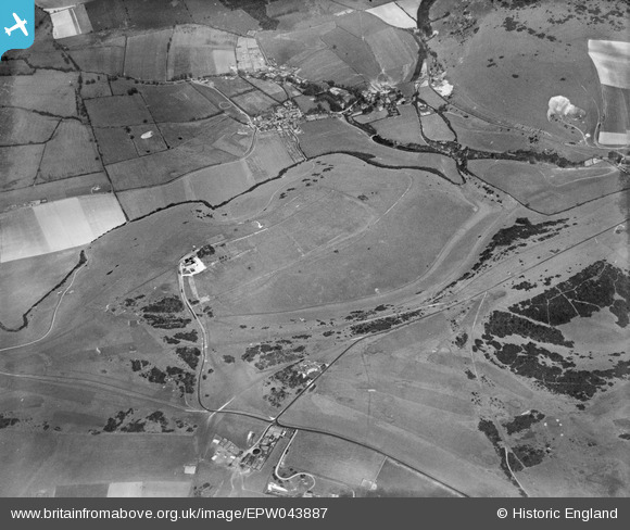
EPW043887 ENGLAND (1934). Devil's Dyke Hillfort, Poynings, 1934
© Hawlfraint cyfranwyr OpenStreetMap a thrwyddedwyd gan yr OpenStreetMap Foundation. 2025. Trwyddedir y gartograffeg fel CC BY-SA.
Delweddau cyfagos (7)
EPW043887

EPW043914

EPW043886

EPW041379

EPW041378

EPW017737

EPW041381

Manylion
| Pennawd | [EPW043887] Devil's Dyke Hillfort, Poynings, 1934 |
| Cyfeirnod | EPW043887 |
| Dyddiad | March-1934 |
| Dolen | |
| Enw lle | POYNINGS |
| Plwyf | POYNINGS |
| Ardal | |
| Gwlad | ENGLAND |
| Dwyreiniad / Gogleddiad | 526045, 111004 |
| Hydred / Lledred | -0.20793449977792, 50.884204518221 |
| Cyfeirnod Grid Cenedlaethol | TQ260110 |
Pinnau
 SophieWattsit |
Wednesday 12th of February 2025 08:33:30 PM |
Cyfraniadau Grŵp
 The Devil's Dyke |
 Alan McFaden |
Tuesday 25th of November 2014 06:02:18 PM |
 The View from Devil's Dyke |
Alan McFaden |
Sunday 9th of November 2014 03:20:24 PM |
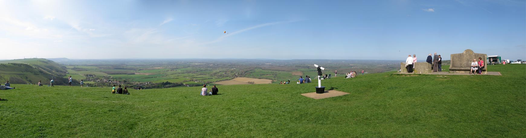 Devil's Dyke Panorama |
Alan McFaden |
Sunday 9th of November 2014 03:18:52 PM |
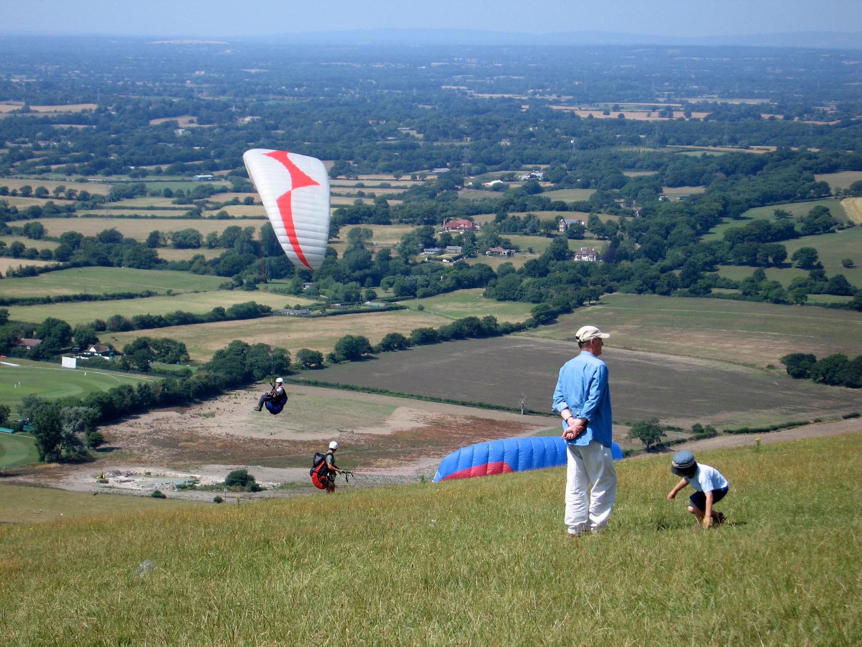 The View from Devil's Dyke |
Alan McFaden |
Sunday 9th of November 2014 03:18:18 PM |