
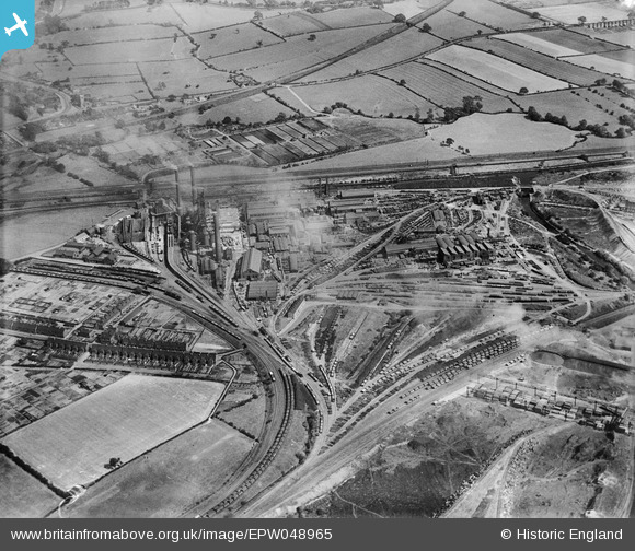
EPW048965 ENGLAND (1935). The Stanton Iron Works, Hallam Fields, 1935
© Hawlfraint cyfranwyr OpenStreetMap a thrwyddedwyd gan yr OpenStreetMap Foundation. 2025. Trwyddedir y gartograffeg fel CC BY-SA.
Delweddau cyfagos (8)
EPW048965

EPW048973

EPW048966

EPW048975

EPW048974

EPW048964

EPW048972

EPW048970

Manylion
| Pennawd | [EPW048965] The Stanton Iron Works, Hallam Fields, 1935 |
| Cyfeirnod | EPW048965 |
| Dyddiad | August-1935 |
| Dolen | |
| Enw lle | HALLAM FIELDS |
| Plwyf | |
| Ardal | |
| Gwlad | ENGLAND |
| Dwyreiniad / Gogleddiad | 447806, 339274 |
| Hydred / Lledred | -1.2884255110687, 52.948402522971 |
| Cyfeirnod Grid Cenedlaethol | SK478393 |
Pinnau
 phillrooney |
Monday 1st of September 2014 02:37:09 PM | |
phillrooney |
Monday 1st of September 2014 12:44:41 PM | |
phillrooney |
Sunday 31st of August 2014 04:49:19 PM | |
phillrooney |
Sunday 31st of August 2014 03:48:18 PM | |
phillrooney |
Sunday 31st of August 2014 03:47:24 PM | |
phillrooney |
Sunday 31st of August 2014 03:47:03 PM | |
phillrooney |
Sunday 31st of August 2014 03:46:35 PM | |
phillrooney |
Sunday 31st of August 2014 03:45:57 PM | |
phillrooney |
Sunday 31st of August 2014 03:45:41 PM | |
phillrooney |
Sunday 31st of August 2014 03:45:20 PM | |
phillrooney |
Sunday 31st of August 2014 03:44:57 PM | |
phillrooney |
Sunday 31st of August 2014 03:44:29 PM |