
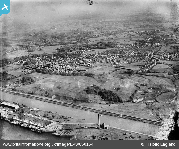
EPW050154 ENGLAND (1936). The River Ribble, the town and environs, Penwortham, from the north, 1936
© Hawlfraint cyfranwyr OpenStreetMap a thrwyddedwyd gan yr OpenStreetMap Foundation. 2025. Trwyddedir y gartograffeg fel CC BY-SA.
Delweddau cyfagos (2)
EPW050154

EPW050151

Manylion
| Pennawd | [EPW050154] The River Ribble, the town and environs, Penwortham, from the north, 1936 |
| Cyfeirnod | EPW050154 |
| Dyddiad | May-1936 |
| Dolen | |
| Enw lle | PENWORTHAM |
| Plwyf | PENWORTHAM |
| Ardal | |
| Gwlad | ENGLAND |
| Dwyreiniad / Gogleddiad | 351397, 429078 |
| Hydred / Lledred | -2.7372353993569, 53.755574991117 |
| Cyfeirnod Grid Cenedlaethol | SD514291 |
Pinnau
 peter |
Sunday 29th of December 2024 10:55:16 AM | |
peter |
Sunday 29th of December 2024 10:54:16 AM | |
Shary |
Thursday 29th of October 2020 09:14:16 PM | |
Shary |
Thursday 29th of October 2020 09:12:30 PM | |
Ragtag |
Sunday 20th of July 2014 06:10:52 PM |