
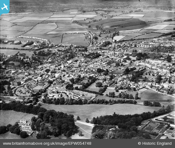
EPW054748 ENGLAND (1937). The town, Sherborne, from the south-east, 1937
© Hawlfraint cyfranwyr OpenStreetMap a thrwyddedwyd gan yr OpenStreetMap Foundation. 2025. Trwyddedir y gartograffeg fel CC BY-SA.
Delweddau cyfagos (9)
EPW054748

EPW054741

EPW054742

EPW054744

EPW054745

EPW054746

EPW054743

EPW011722

EPW011721

Manylion
| Pennawd | [EPW054748] The town, Sherborne, from the south-east, 1937 |
| Cyfeirnod | EPW054748 |
| Dyddiad | August-1937 |
| Dolen | |
| Enw lle | SHERBORNE |
| Plwyf | SHERBORNE |
| Ardal | |
| Gwlad | ENGLAND |
| Dwyreiniad / Gogleddiad | 364154, 116431 |
| Hydred / Lledred | -2.5103024686767, 50.945653319243 |
| Cyfeirnod Grid Cenedlaethol | ST642164 |
Pinnau
 alastair wallace |
Sunday 20th of December 2015 11:25:36 PM | |
alastair wallace |
Sunday 20th of December 2015 11:24:35 PM | |
apple |
Monday 6th of October 2014 01:17:21 PM | |
Tink |
Thursday 4th of September 2014 03:01:34 PM |