
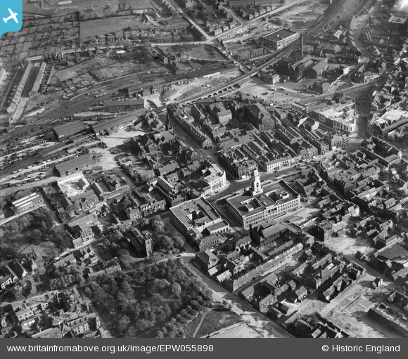
EPW055898 ENGLAND (1937). The Town Hall and environs, Barnsley, 1937
© Hawlfraint cyfranwyr OpenStreetMap a thrwyddedwyd gan yr OpenStreetMap Foundation. 2025. Trwyddedir y gartograffeg fel CC BY-SA.
Delweddau cyfagos (16)
EPW055898

EPW061490

EPW057294

EPW021097

EPW055899

EPW061491

EAW024171

EAW024172

EPW057290

EPW057291

EPW021095A

EPW021098

EPW057292

EPW055897

EPW021099

EPW048004

Manylion
| Pennawd | [EPW055898] The Town Hall and environs, Barnsley, 1937 |
| Cyfeirnod | EPW055898 |
| Dyddiad | 24-October-1937 |
| Dolen | |
| Enw lle | BARNSLEY |
| Plwyf | |
| Ardal | |
| Gwlad | ENGLAND |
| Dwyreiniad / Gogleddiad | 434445, 406549 |
| Hydred / Lledred | -1.480006706651, 53.554193415908 |
| Cyfeirnod Grid Cenedlaethol | SE344065 |
Pinnau
 Big_Bob |
Tuesday 28th of February 2023 10:18:08 PM | |
ncbnik |
Sunday 8th of January 2023 07:43:53 PM | |
ncbnik |
Sunday 8th of January 2023 07:38:47 PM | |
ncbnik |
Sunday 8th of January 2023 07:35:50 PM | |
ncbnik |
Sunday 8th of January 2023 07:33:54 PM | |
ncbnik |
Sunday 8th of January 2023 07:29:47 PM | |
ncbnik |
Sunday 8th of January 2023 07:28:18 PM |