
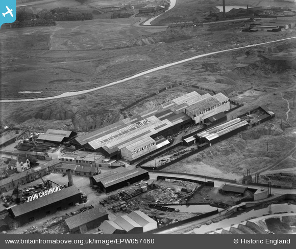
EPW057460 ENGLAND (1938). The Wilfred Robbins Ltd Golds Hill Ironworks, Harvills Hawthorn, 1938
© Hawlfraint cyfranwyr OpenStreetMap a thrwyddedwyd gan yr OpenStreetMap Foundation. 2025. Trwyddedir y gartograffeg fel CC BY-SA.
Delweddau cyfagos (7)
EPW057460

EPW057465

EPW057462

EPW057459

EPW057463

EPW057461

EPW057464

Manylion
| Pennawd | [EPW057460] The Wilfred Robbins Ltd Golds Hill Ironworks, Harvills Hawthorn, 1938 |
| Cyfeirnod | EPW057460 |
| Dyddiad | 9-June-1938 |
| Dolen | |
| Enw lle | HARVILLS HAWTHORN |
| Plwyf | |
| Ardal | |
| Gwlad | ENGLAND |
| Dwyreiniad / Gogleddiad | 398160, 293102 |
| Hydred / Lledred | -2.0271298461645, 52.535415115605 |
| Cyfeirnod Grid Cenedlaethol | SO982931 |
Pinnau
 DaveT |
Friday 25th of October 2013 01:24:25 AM | |
DaveT |
Friday 25th of October 2013 01:24:20 AM | |
DaveT |
Saturday 19th of October 2013 05:20:53 AM | |
DaveT |
Friday 18th of October 2013 11:45:33 PM | |
DaveT |
Friday 18th of October 2013 11:28:26 PM | |
DaveT |
Friday 18th of October 2013 10:30:46 PM | |
DaveT |
Friday 18th of October 2013 10:28:43 PM | |
DaveT |
Friday 18th of October 2013 10:27:47 PM |