
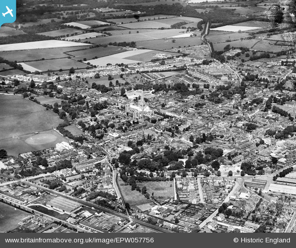
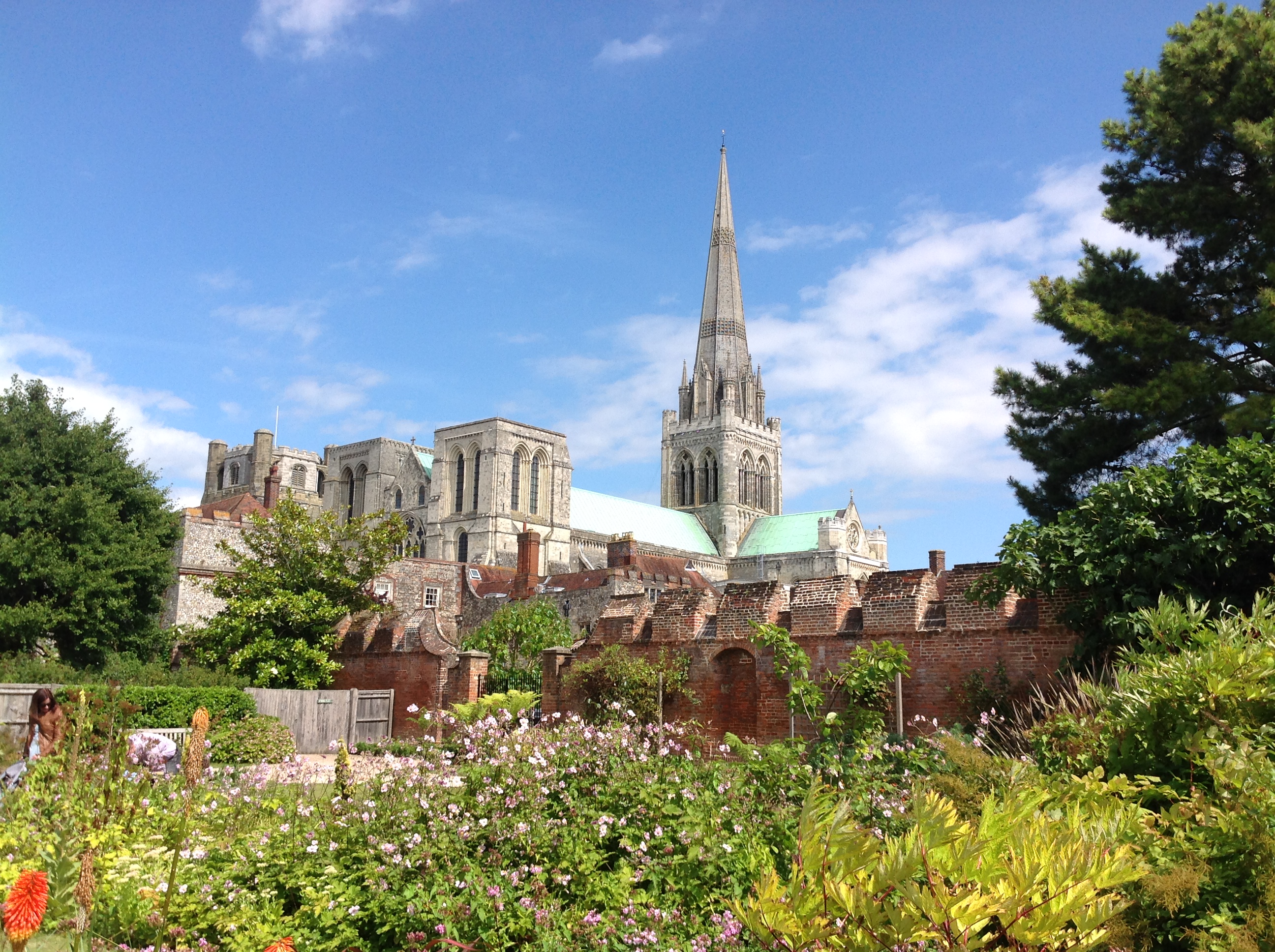
EPW057756 ENGLAND (1938). Chichester Cathedral and the city centre, Chichester, from the south-east, 1938
© Hawlfraint cyfranwyr OpenStreetMap a thrwyddedwyd gan yr OpenStreetMap Foundation. 2025. Trwyddedir y gartograffeg fel CC BY-SA.
Delweddau cyfagos (10)
EPW057756

EAW006597

EAW018168
 Ltd Factory, Chichester, 1948")
EAW018169
 Ltd Factory, Chichester, from the south-east, 1948. This image was marked by Aerofilms Ltd for photo editing.")
EAW018170
 Ltd Factory and Chichester Cathedral, Chichester, from the south, 1948")
EAW018173
 Ltd Factory and Chichester Cathedral, Chichester, from the south-east, 1948. This image was marked by Aerofilms Ltd for photo editing.")
EAW018172
 Ltd Factory, Chichester, from the south-west, 1948. This image was marked by Aerofilms Ltd for photo editing.")
EAW018171
 Ltd Factory and Chichester Cathedral, Chichester, from the south-east, 1948. This image was marked by Aerofilms Ltd for photo editing.")
EAW018174
 Ltd Factory, Chichester, from the south-west, 1948. This image was marked by Aerofilms Ltd for photo editing.")
EAW026211

Manylion
| Pennawd | [EPW057756] Chichester Cathedral and the city centre, Chichester, from the south-east, 1938 |
| Cyfeirnod | EPW057756 |
| Dyddiad | 3-June-1938 |
| Dolen | |
| Enw lle | CHICHESTER |
| Plwyf | CHICHESTER |
| Ardal | |
| Gwlad | ENGLAND |
| Dwyreiniad / Gogleddiad | 486248, 104450 |
| Hydred / Lledred | -0.77512958482596, 50.832589095478 |
| Cyfeirnod Grid Cenedlaethol | SU862045 |
Pinnau
 David960 |
Monday 9th of February 2015 10:31:18 PM | |
David960 |
Monday 9th of February 2015 10:29:49 PM | |
David960 |
Monday 9th of February 2015 10:27:18 PM | |
David960 |
Monday 9th of February 2015 10:25:13 PM | |
David960 |
Monday 9th of February 2015 10:21:12 PM | |
David960 |
Monday 9th of February 2015 10:18:13 PM | |
 Class31 |
Monday 18th of August 2014 05:40:10 PM | |
Class31 |
Monday 18th of August 2014 05:39:36 PM | |
Class31 |
Monday 18th of August 2014 05:39:02 PM | |
Class31 |
Monday 18th of August 2014 05:37:00 PM | |
Class31 |
Monday 18th of August 2014 05:35:47 PM | |
Class31 |
Monday 18th of August 2014 05:34:46 PM | |
Paula-in-Chi |
Thursday 3rd of April 2014 11:34:42 AM | |
Paula-in-Chi |
Thursday 3rd of April 2014 11:31:00 AM | |
Paula-in-Chi |
Thursday 3rd of April 2014 11:28:53 AM | |
Paula-in-Chi |
Thursday 3rd of April 2014 11:27:01 AM | |
 Alan McFaden |
Monday 25th of November 2013 06:02:33 PM | |
Alan McFaden |
Monday 25th of November 2013 06:01:30 PM | |
Alan McFaden |
Monday 25th of November 2013 06:00:44 PM | |
Alan McFaden |
Monday 25th of November 2013 06:00:04 PM | |
Alan McFaden |
Monday 25th of November 2013 05:58:54 PM | |
Alan McFaden |
Monday 25th of November 2013 05:57:59 PM |


Cyfraniadau Grŵp
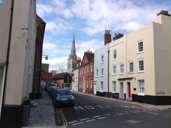
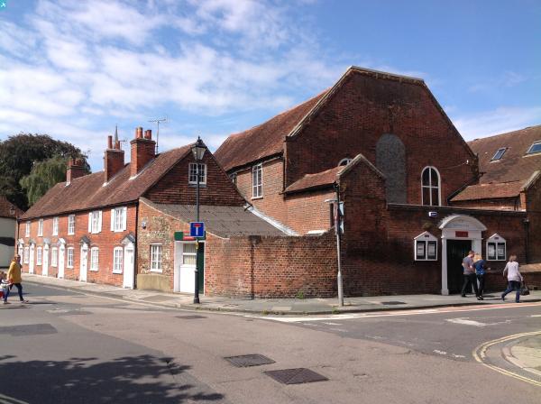
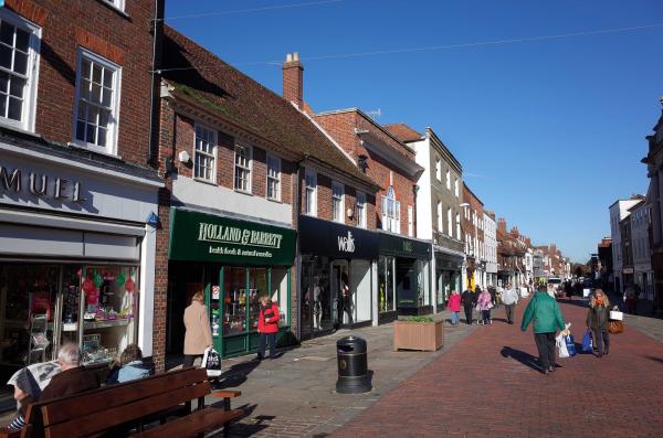
 East Pallant, Chichester, 16/08/2014 |
Class31 |
Monday 18th of August 2014 05:38:24 PM |
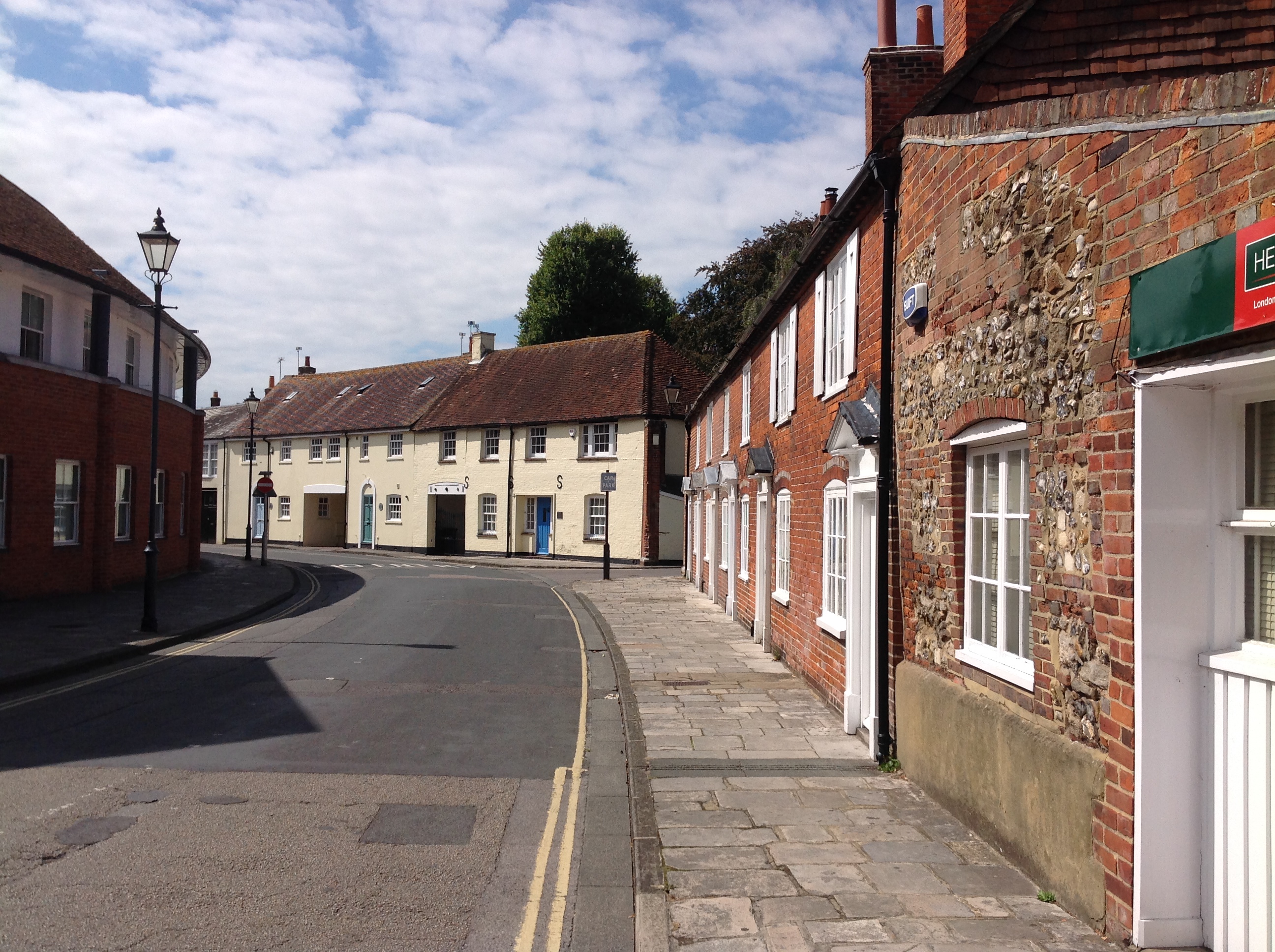 East Pallant, Chichester, 16/08/2014 |
Class31 |
Monday 18th of August 2014 05:38:00 PM |
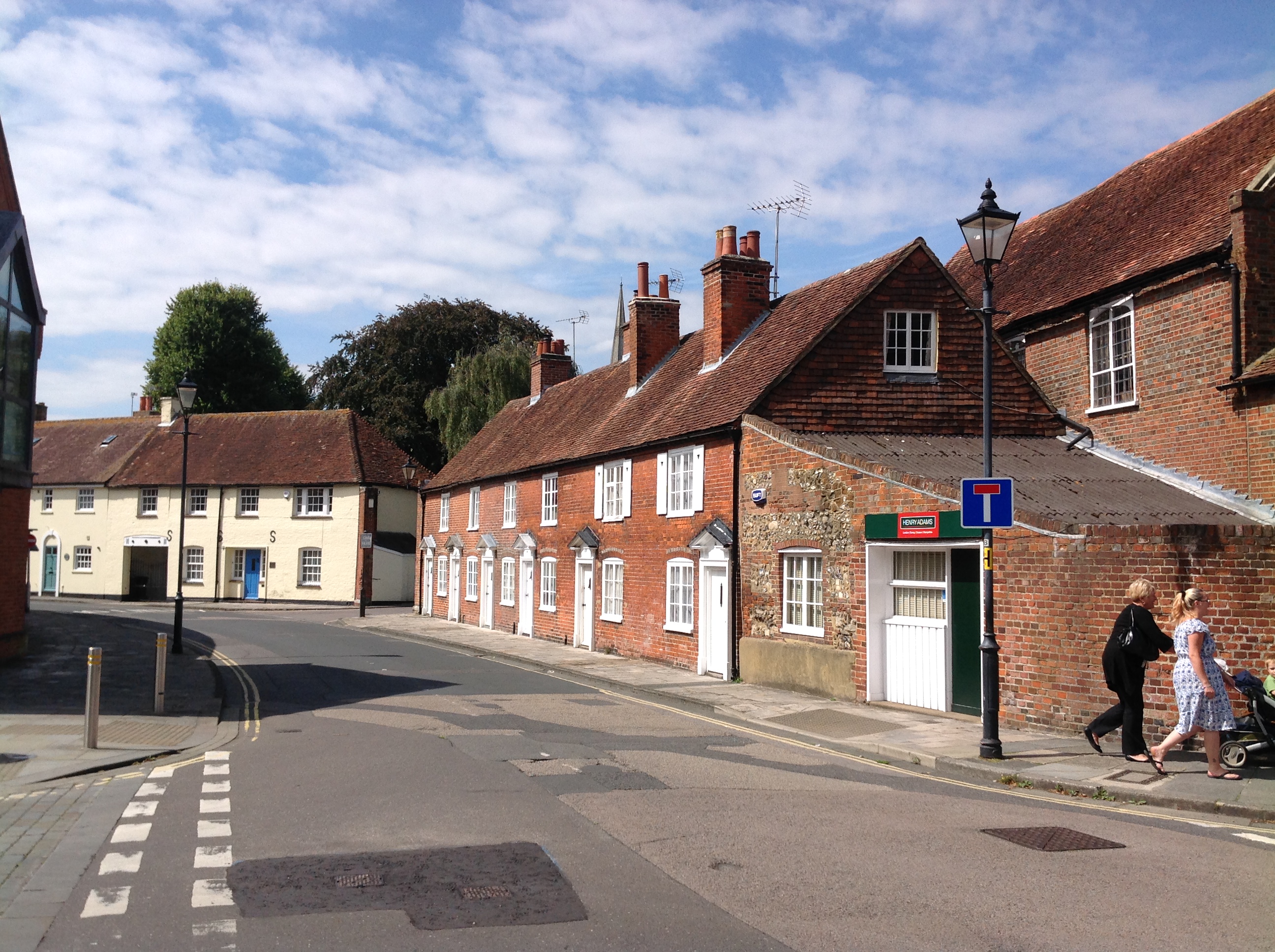 East Pallant, Chichester, 16/08/2014 |
Class31 |
Monday 18th of August 2014 05:37:28 PM |
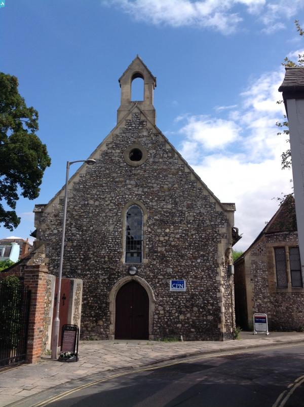
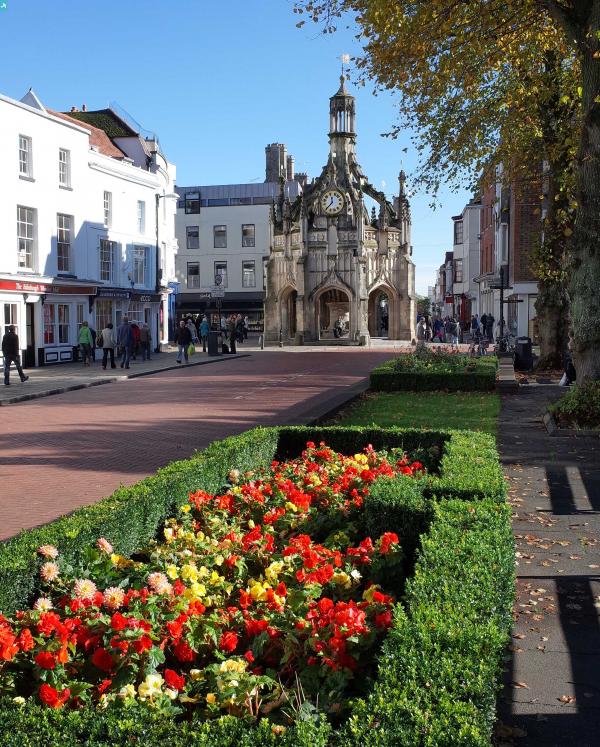
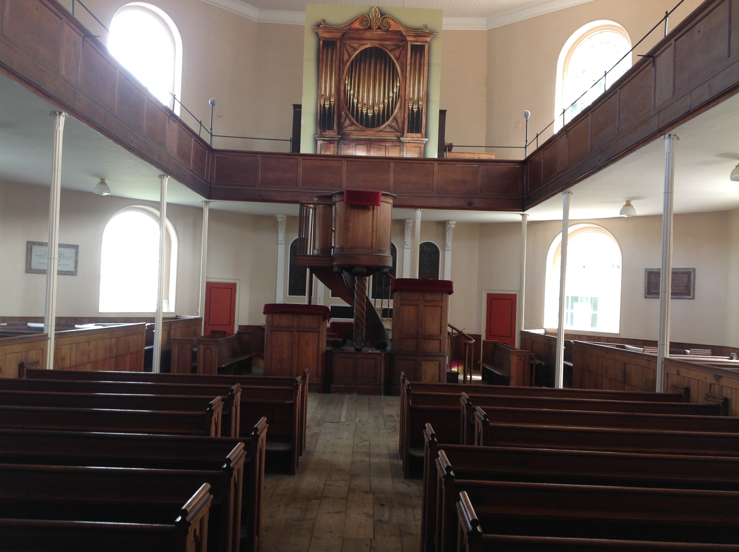 St. John's Chapel, Chichester, 16/08/2014 |
Class31 |
Monday 18th of August 2014 05:36:10 PM |
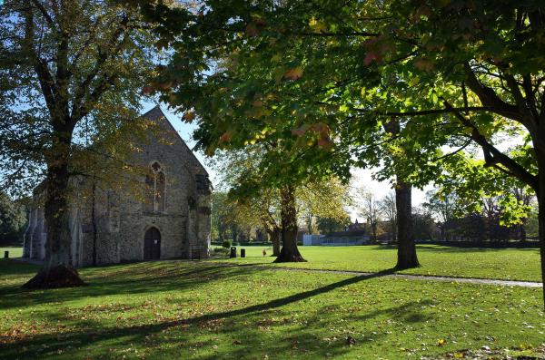
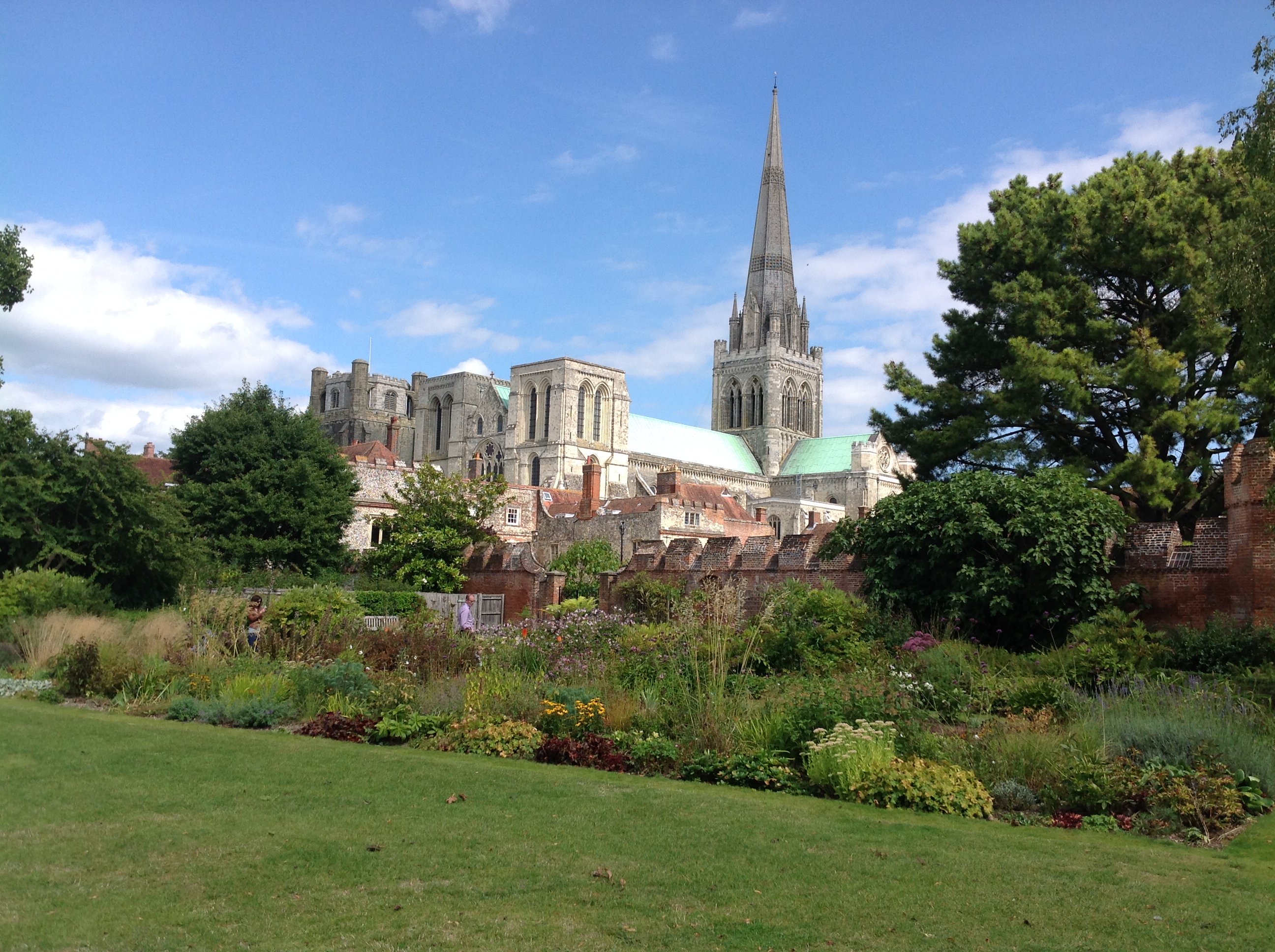 Cathedral Church of the Holy Trinity, Chichester, 16/08/2014 |
Class31 |
Monday 18th of August 2014 05:33:22 PM |
 Cathedral Church of the Holy Trinity, Chichester, 16/08/2014 |
Class31 |
Monday 18th of August 2014 05:32:56 PM |