
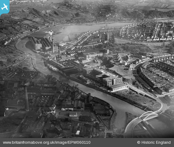
EPW060110 ENGLAND (1938). The St Anne's Board Mill Co Ltd Works and the surrounding residential area, Bristol, 1938
© Hawlfraint cyfranwyr OpenStreetMap a thrwyddedwyd gan yr OpenStreetMap Foundation. 2025. Trwyddedir y gartograffeg fel CC BY-SA.
Delweddau cyfagos (22)
EPW060110

EPW050561

EPW050566

EPW050567

EPW050559

EPW005538

EPW050470

EPW050572

EPW060105

EPW060109

EPW060114

EPW050564

EPW060113

EPW050468

EPW060111

EPW050565

EPW050469

EPW060112

EPW050562

EPW050571

EPW050465

EPW060106

Manylion
| Pennawd | [EPW060110] The St Anne's Board Mill Co Ltd Works and the surrounding residential area, Bristol, 1938 |
| Cyfeirnod | EPW060110 |
| Dyddiad | 1-November-1938 |
| Dolen | |
| Enw lle | BRISTOL |
| Plwyf | |
| Ardal | |
| Gwlad | ENGLAND |
| Dwyreiniad / Gogleddiad | 361902, 172805 |
| Hydred / Lledred | -2.5483459651899, 51.452455561981 |
| Cyfeirnod Grid Cenedlaethol | ST619728 |
Pinnau
 |
 Class31 |
Monday 11th of May 2015 07:23:58 AM |
Class31 |
Monday 11th of May 2015 07:06:48 AM | |
Class31 |
Monday 11th of May 2015 07:06:12 AM | |
 duke |
Monday 4th of November 2013 08:23:19 PM | |
That's a fascinating collection of historical facts. Thanks for posting! I grew up on Newbridge Road so it's good to know a bit more about my roots :-) |
kellysheppard510@ymail.com |
Thursday 19th of November 2015 12:02:10 PM |
Cyfraniadau Grŵp
I lived at Wootton Crescent when I was a child. It can be seen clearly on the photo. In fact I can see our house which mum still lives in. If you look at the chimney on the right, you can make out Wootton Road going up with the circle on the left. That was the water plant and it had a bridge across it which rotated all the time. We could see it from our front room window. |
Pennyjames |
Monday 4th of April 2016 05:31:21 PM |
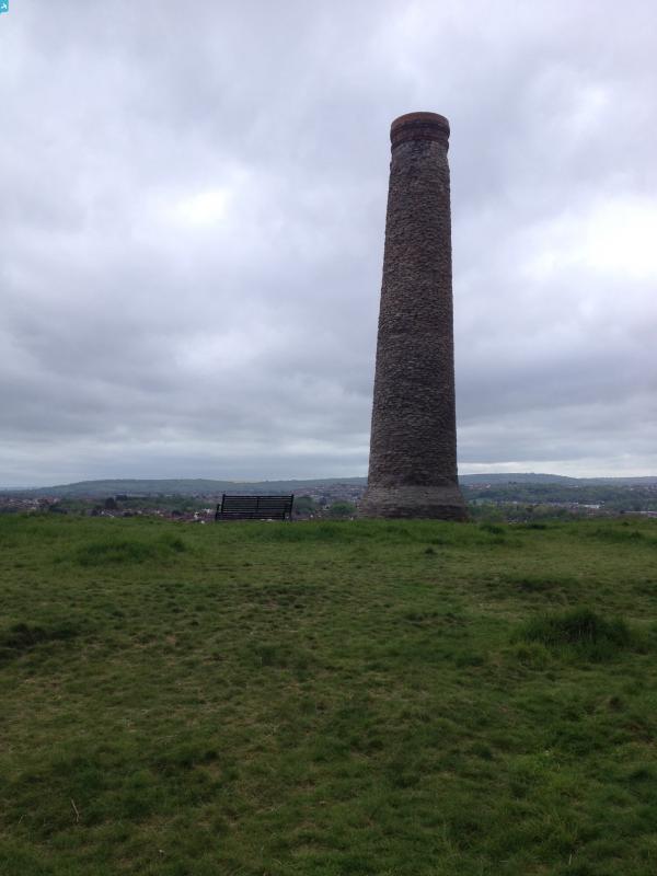
 View south from Troopers Hill Local Nature Reserve, St. Georges, Bristol, 10/05/2015 |
Class31 |
Monday 11th of May 2015 07:25:27 AM |