
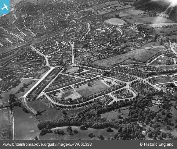
EPW061338 ENGLAND (1939). Cockfosters and New Barnet, East Barnet, from the south-east, 1939
© Hawlfraint cyfranwyr OpenStreetMap a thrwyddedwyd gan yr OpenStreetMap Foundation. 2025. Trwyddedir y gartograffeg fel CC BY-SA.
Delweddau cyfagos (3)
EPW061338

EPW031505

EPW031495

Manylion
| Pennawd | [EPW061338] Cockfosters and New Barnet, East Barnet, from the south-east, 1939 |
| Cyfeirnod | EPW061338 |
| Dyddiad | 2-June-1939 |
| Dolen | |
| Enw lle | EAST BARNET |
| Plwyf | |
| Ardal | |
| Gwlad | ENGLAND |
| Dwyreiniad / Gogleddiad | 527875, 195321 |
| Hydred / Lledred | -0.15177311701256, 51.641665883918 |
| Cyfeirnod Grid Cenedlaethol | TQ279953 |
Pinnau
 a christie |
Friday 8th of May 2020 04:59:03 PM | |
a christie |
Friday 8th of May 2020 04:56:43 PM | |
East Barnet Stan |
Wednesday 9th of March 2016 07:20:57 PM | |
East Barnet Stan |
Wednesday 9th of March 2016 07:19:32 PM | |
East Barnet Stan |
Wednesday 9th of March 2016 07:16:46 PM | |
East Barnet Stan |
Wednesday 9th of March 2016 07:14:07 PM | |
East Barnet Stan |
Wednesday 9th of March 2016 07:13:04 PM | |
JM |
Thursday 6th of August 2015 10:23:42 AM | |
Tom |
Saturday 28th of December 2013 06:51:56 PM | |
Tom |
Saturday 28th of December 2013 06:49:52 PM | |
Tom |
Saturday 28th of December 2013 06:48:51 PM | |
Tom |
Saturday 28th of December 2013 06:47:46 PM | |
Tom |
Saturday 28th of December 2013 06:40:45 PM | |
David |
Tuesday 5th of November 2013 09:17:22 PM |