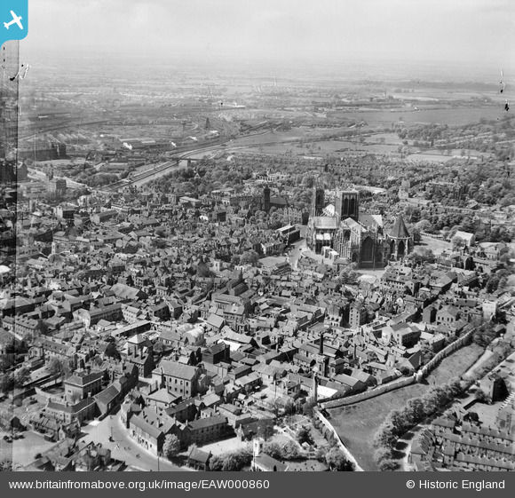
EAW000860 ENGLAND (1946). York Minster and the city, York, from the east, 1946
© Copyright OpenStreetMap contributors and licensed by the OpenStreetMap Foundation. 2025. Cartography is licensed as CC BY-SA.
Details
| Title | [EAW000860] York Minster and the city, York, from the east, 1946 |
| Reference | EAW000860 |
| Date | 15-May-1946 |
| Link | |
| Place name | YORK |
| Parish | |
| District | |
| Country | ENGLAND |
| Easting / Northing | 460638, 452074 |
| Longitude / Latitude | -1.0756909591165, 53.960995896738 |
| National Grid Reference | SE606521 |
Pins
 Vincent & Brown |
Tuesday 8th of November 2022 05:00:21 PM | |
 Gavin Thomas |
Monday 11th of May 2020 10:11:14 PM | |
 Gavin Thomas |
Sunday 10th of May 2020 11:50:19 PM | |
 redmist |
Thursday 1st of November 2018 10:43:58 PM | |
 mspaddler |
Wednesday 10th of February 2016 09:49:44 AM | |
 Class31 |
Tuesday 16th of September 2014 11:28:30 AM | |
 Class31 |
Tuesday 16th of September 2014 10:49:50 AM | |
 Alan McFaden |
Monday 16th of December 2013 11:12:40 PM | |
 Alan McFaden |
Monday 16th of December 2013 11:12:18 PM | |
 YorkStories |
Saturday 31st of August 2013 01:02:24 PM | |
 YorkStories |
Saturday 31st of August 2013 01:00:25 PM |
User Comment Contributions
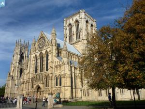
 An original snapshot of York taken in June or July 1939. "The Minster , West Front " |
 Class31 |
Wednesday 7th of May 2014 09:02:28 AM |
 YorkStories |
Saturday 31st of August 2013 11:02:26 AM |


![[EAW000860] York Minster and the city, York, from the east, 1946](http://britainfromabove.org.uk/sites/all/libraries/aerofilms-images/public/100x100/EAW/000/EAW000860.jpg)
![[EAW003656] York Minster and the city, York, from the north-west, 1947](http://britainfromabove.org.uk/sites/all/libraries/aerofilms-images/public/100x100/EAW/003/EAW003656.jpg)


