
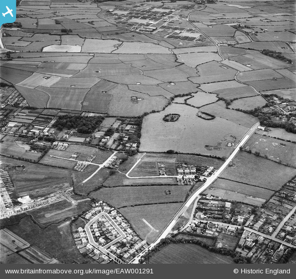
EAW001291 ENGLAND (1946). Housing at Devonshire Road, Saughall Massie Road and the surrounding countryside, Greasby, 1946
© Copyright OpenStreetMap contributors and licensed by the OpenStreetMap Foundation. 2025. Cartography is licensed as CC BY-SA.
Nearby Images (2)
EAW001291

EAW001602

Details
| Title | [EAW001291] Housing at Devonshire Road, Saughall Massie Road and the surrounding countryside, Greasby, 1946 |
| Reference | EAW001291 |
| Date | 24-June-1946 |
| Link | |
| Place name | GREASBY |
| Parish | |
| District | |
| Country | ENGLAND |
| Easting / Northing | 325699, 388251 |
| Longitude / Latitude | -3.1172527453345, 53.385606282363 |
| National Grid Reference | SJ257883 |
Pins
 Alison_C |
Saturday 7th of November 2015 02:57:08 PM | |
Roger Reid |
Tuesday 18th of February 2014 04:47:21 AM | |
Roger Reid |
Tuesday 18th of February 2014 04:46:11 AM | |
Roger Reid |
Tuesday 18th of February 2014 04:45:24 AM | |
Roger Reid |
Tuesday 18th of February 2014 04:43:46 AM |