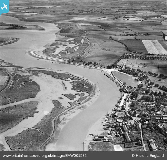
EAW001532 ENGLAND (1946). The River Blackwater at The Hythe, Maldon, from the north-west, 1946
© Copyright OpenStreetMap contributors and licensed by the OpenStreetMap Foundation. 2025. Cartography is licensed as CC BY-SA.
Nearby Images (7)
EAW001532

EAW021829

EAW021830

EAW043493

EAW021833

EPW054678

EPW054680

Details
| Title | [EAW001532] The River Blackwater at The Hythe, Maldon, from the north-west, 1946 |
| Reference | EAW001532 |
| Date | 5-July-1946 |
| Link | |
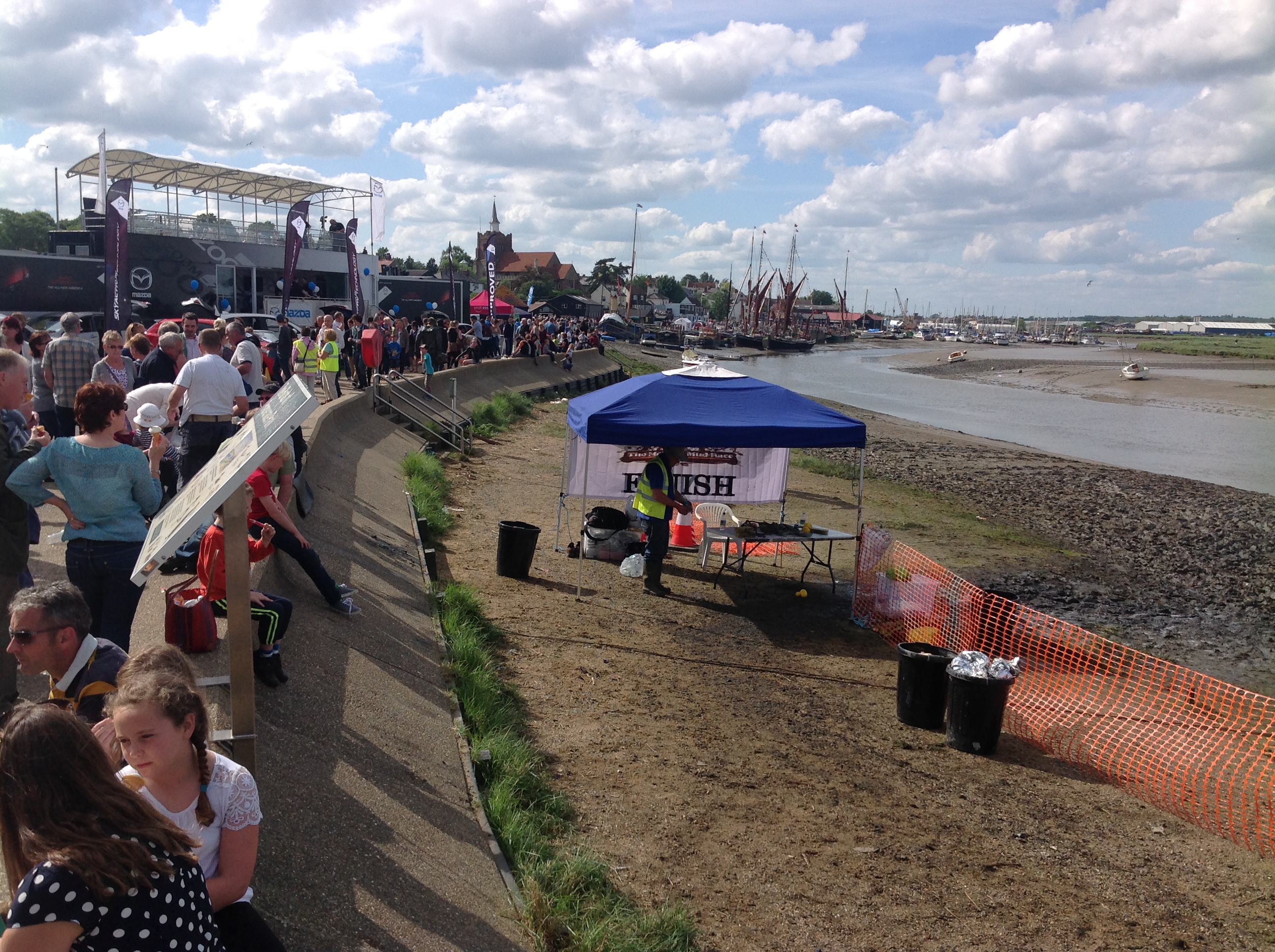
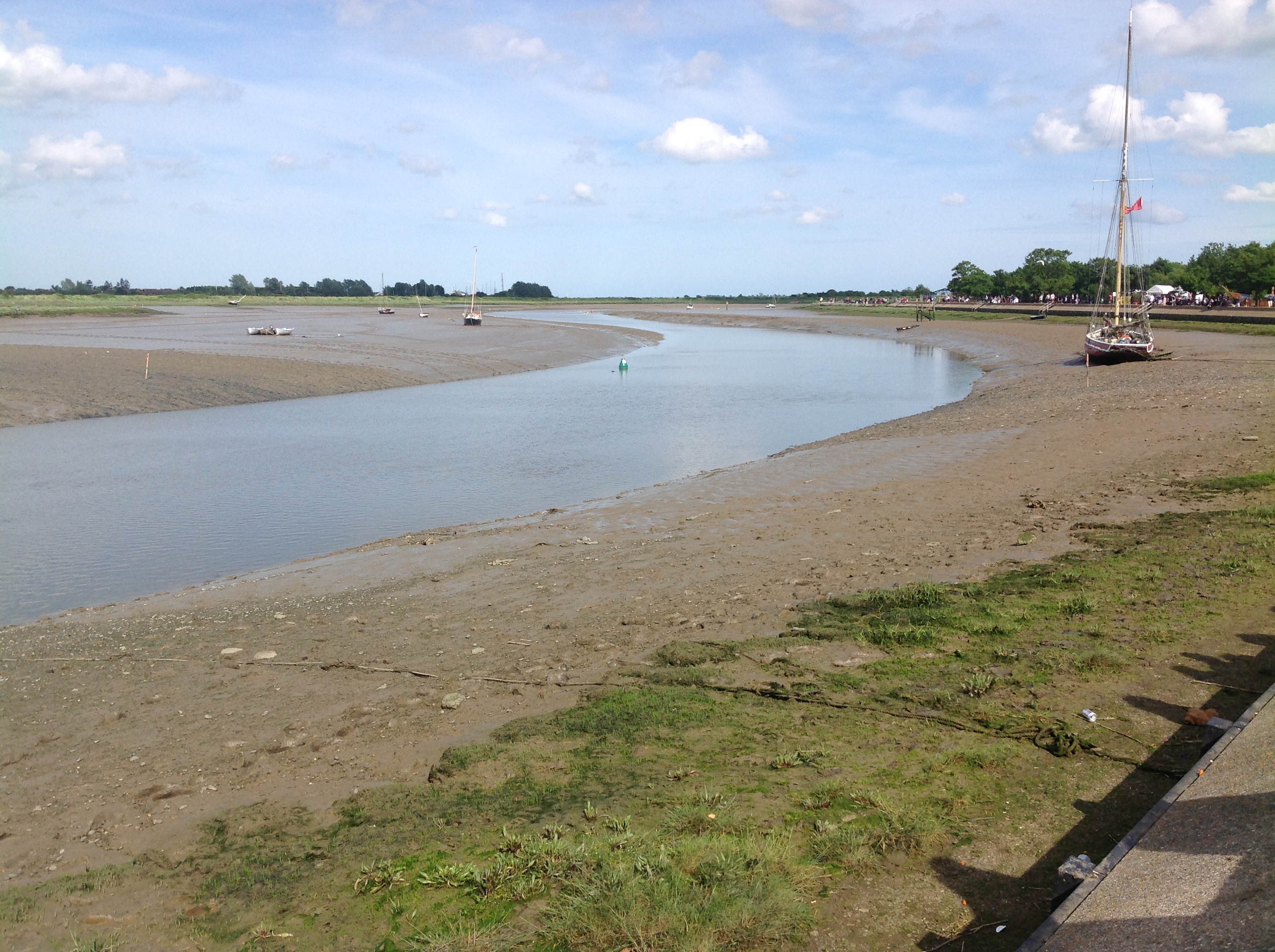
| Place name | MALDON |
| Parish | MALDON |
| District | |
| Country | ENGLAND |
| Easting / Northing | 585764, 206920 |
| Longitude / Latitude | 0.69025494271078, 51.729712969234 |
| National Grid Reference | TL858069 |