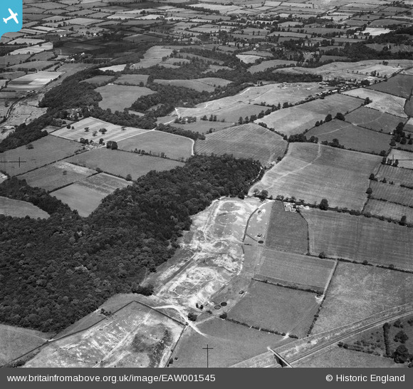
EAW001545 ENGLAND (1946). Haw Wood, Spaniorum Hill and the surrounding countryside, Compton Greenfield, 1946
© Copyright OpenStreetMap contributors and licensed by the OpenStreetMap Foundation. 2025. Cartography is licensed as CC BY-SA.
Details
| Title | [EAW001545] Haw Wood, Spaniorum Hill and the surrounding countryside, Compton Greenfield, 1946 |
| Reference | EAW001545 |
| Date | 15-July-1946 |
| Link | |
| Place name | COMPTON GREENFIELD |
| Parish | ALMONDSBURY |
| District | |
| Country | ENGLAND |
| Easting / Northing | 356312, 180176 |
| Longitude / Latitude | -2.6297104733121, 51.518331646158 |
| National Grid Reference | ST563802 |
Pins
 NicTomkins |
Wednesday 16th of December 2020 10:51:29 PM | |
 NicTomkins |
Wednesday 16th of December 2020 10:50:49 PM | |
 NicTomkins |
Wednesday 16th of December 2020 10:43:56 PM | |
 Sparky |
Friday 22nd of September 2017 10:11:44 PM | |
 Class31 |
Wednesday 3rd of June 2015 06:42:24 AM | |
 cptpies |
Wednesday 3rd of December 2014 08:21:22 AM | |
 NicTomkins |
Wednesday 1st of January 2014 03:31:14 PM | |
 NicTomkins |
Wednesday 1st of January 2014 03:30:06 PM |
User Comment Contributions
 cptpies |
Wednesday 3rd of December 2014 08:22:43 AM |


