
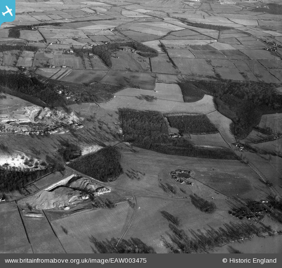
EAW003475 ENGLAND (1947). Upper Swallow Wood and surrounding countryside, Wentworth Park, 1947
© Copyright OpenStreetMap contributors and licensed by the OpenStreetMap Foundation. 2025. Cartography is licensed as CC BY-SA.
Nearby Images (2)
EAW003475

EAW003476

Details
| Title | [EAW003475] Upper Swallow Wood and surrounding countryside, Wentworth Park, 1947 |
| Reference | EAW003475 |
| Date | 12-January-1947 |
| Link | |
| Place name | WENTWORTH PARK |
| Parish | WENTWORTH |
| District | |
| Country | ENGLAND |
| Easting / Northing | 440657, 397110 |
| Longitude / Latitude | -1.3874584507379, 53.468902481131 |
| National Grid Reference | SK407971 |
Pins
 redmist |
Monday 5th of November 2018 10:15:21 PM | |
Chris Kolonko |
Wednesday 13th of September 2017 06:21:35 PM |