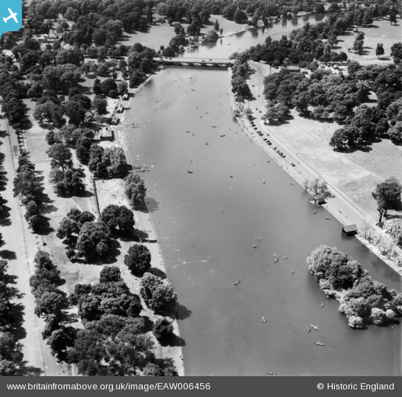
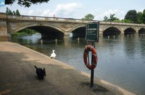
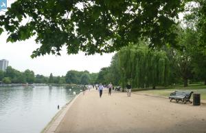
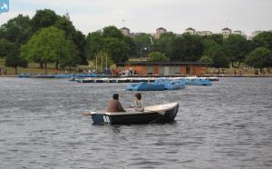
EAW006456 ENGLAND (1947). The Serpentine, Hyde Park, 1947
© Copyright OpenStreetMap contributors and licensed by the OpenStreetMap Foundation. 2025. Cartography is licensed as CC BY-SA.
Nearby Images (9)
Details
| Title | [EAW006456] The Serpentine, Hyde Park, 1947 |
| Reference | EAW006456 |
| Date | 2-June-1947 |
| Link | |
| Place name | HYDE PARK |
| Parish | |
| District | |
| Country | ENGLAND |
| Easting / Northing | 527215, 180053 |
| Longitude / Latitude | -0.16683705358734, 51.504590260255 |
| National Grid Reference | TQ272801 |
Pins
 Alan McFaden |
Thursday 7th of November 2013 04:13:47 PM | |
 Alan McFaden |
Thursday 7th of November 2013 04:12:52 PM | |
 Alan McFaden |
Thursday 7th of November 2013 04:12:21 PM |


![[EAW006456] The Serpentine, Hyde Park, 1947](http://britainfromabove.org.uk/sites/all/libraries/aerofilms-images/public/100x100/EAW/006/EAW006456.jpg)
![[EAW006459] The Serpentine, Hyde Park, 1947](http://britainfromabove.org.uk/sites/all/libraries/aerofilms-images/public/100x100/EAW/006/EAW006459.jpg)
![[EAW006458] The Serpentine, Hyde Park, 1947](http://britainfromabove.org.uk/sites/all/libraries/aerofilms-images/public/100x100/EAW/006/EAW006458.jpg)
![[EAW021736] Kensington Gardens and environs, Westminster, 1949. This image has been produced from a print.](http://britainfromabove.org.uk/sites/all/libraries/aerofilms-images/public/100x100/EAW/021/EAW021736.jpg)
![[EPW052917] Army encampment in Hyde Park (ahead of the Coronation of George VI eight days later), Westminster, 1937](http://britainfromabove.org.uk/sites/all/libraries/aerofilms-images/public/100x100/EPW/052/EPW052917.jpg)
![[EPW061239] The Serpentine in Hyde Park, Knightsbridge, 1939](http://britainfromabove.org.uk/sites/all/libraries/aerofilms-images/public/100x100/EPW/061/EPW061239.jpg)
![[EAW006457] The Serpentine, Hyde Park, 1947](http://britainfromabove.org.uk/sites/all/libraries/aerofilms-images/public/100x100/EAW/006/EAW006457.jpg)
![[EAW021738] A cityscape over London, Westminster, from the south-west, 1949. This image has been produced from a print.](http://britainfromabove.org.uk/sites/all/libraries/aerofilms-images/public/100x100/EAW/021/EAW021738.jpg)
![[EPW020958] Serpentine Bridge, Hyde Park, 1928](http://britainfromabove.org.uk/sites/all/libraries/aerofilms-images/public/100x100/EPW/020/EPW020958.jpg)


