EAW007392 ENGLAND (1947). The River Avon at Cropthorne looking towards RAF Pershore and beyond, Fladbury, from the south-east, 1947

© Copyright OpenStreetMap contributors and licensed by the OpenStreetMap Foundation. 2025. Cartography is licensed as CC BY-SA.
Nearby Images (4)
EAW007392

EAW007397

EAW007390

EAW007396

Details
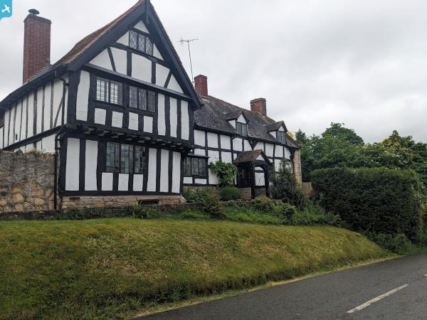
| Title | [EAW007392] The River Avon at Cropthorne looking towards RAF Pershore and beyond, Fladbury, from the south-east, 1947 |
| Reference | EAW007392 |
| Date | 12-June-1947 |
| Link | |
| Place name | FLADBURY |
| Parish | FLADBURY |
| District | |
| Country | ENGLAND |
| Easting / Northing | 398825, 246000 |
| Longitude / Latitude | -2.0171601384753, 52.111911303588 |
| National Grid Reference | SO988460 |