
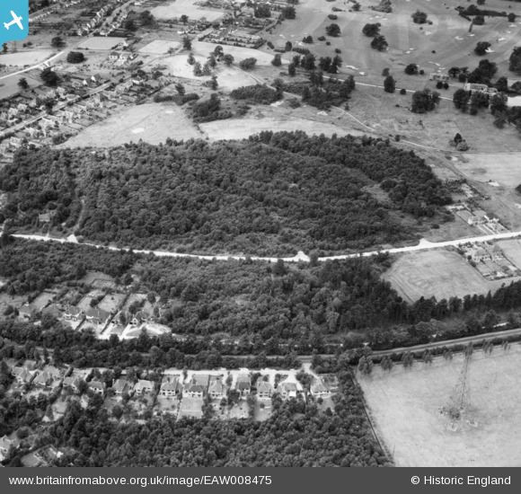
EAW008475 ENGLAND (1947). George's Wood, Brookmans Park, 1947
© Copyright OpenStreetMap contributors and licensed by the OpenStreetMap Foundation. 2025. Cartography is licensed as CC BY-SA.
Nearby Images (4)
EAW008475

EAW008472

EAW008473

EAW008476

Details
| Title | [EAW008475] George's Wood, Brookmans Park, 1947 |
| Reference | EAW008475 |
| Date | 31-July-1947 |
| Link | |
| Place name | BROOKMANS PARK |
| Parish | NORTH MYMMS |
| District | |
| Country | ENGLAND |
| Easting / Northing | 525771, 204578 |
| Longitude / Latitude | -0.17883038420135, 51.725339455153 |
| National Grid Reference | TL258046 |
Pins
 Ray Flack |
Wednesday 17th of September 2014 01:05:11 PM | |
Ray Flack |
Wednesday 17th of September 2014 01:04:40 PM | |
Ray Flack |
Wednesday 17th of September 2014 01:04:14 PM | |
Ray Flack |
Wednesday 17th of September 2014 01:03:48 PM | |
Ray Flack |
Wednesday 17th of September 2014 01:03:16 PM | |
Ray Flack |
Wednesday 17th of September 2014 01:02:29 PM | |
Ray Flack |
Wednesday 17th of September 2014 01:02:08 PM | |
Ray Flack |
Wednesday 17th of September 2014 01:01:27 PM |