
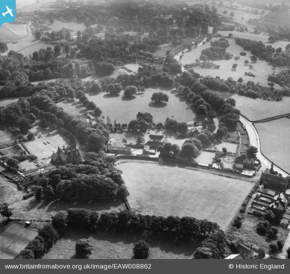
EAW008862 ENGLAND (1947). Holmehurst, Little London, 1947
© Copyright OpenStreetMap contributors and licensed by the OpenStreetMap Foundation. 2025. Cartography is licensed as CC BY-SA.
Nearby Images (8)
EAW008862

EAW008866

EAW008868

EAW008865

EAW008867

EAW008863

EAW008861

EAW008864

Details
| Title | [EAW008862] Holmehurst, Little London, 1947 |
| Reference | EAW008862 |
| Date | 9-August-1947 |
| Link | |
| Place name | LITTLE LONDON |
| Parish | |
| District | |
| Country | ENGLAND |
| Easting / Northing | 420282, 439241 |
| Longitude / Latitude | -1.6916710908296, 53.848801124461 |
| National Grid Reference | SE203392 |
Pins
Be the first to add a comment to this image!