
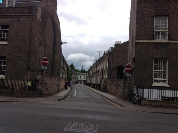
EAW011257 ENGLAND (1947). Jesus College and environs, Cambridge, 1947

© Copyright OpenStreetMap contributors and licensed by the OpenStreetMap Foundation. 2025. Cartography is licensed as CC BY-SA.
Nearby Images (18)
EAW011257

EAW011264

EAW013079

EPW025471

EAW011267

EAW011256

EAW011265

EAW011262

EAW011263

EAW013077

EAW011266

EAW011258

EAW011268

EAW011261

EAW013076

EAW013078

EAW011259

EAW011260

Details
| Title | [EAW011257] Jesus College and environs, Cambridge, 1947 |
| Reference | EAW011257 |
| Date | 30-September-1947 |
| Link | |
| Place name | CAMBRIDGE |
| Parish | |
| District | |
| Country | ENGLAND |
| Easting / Northing | 545227, 258927 |
| Longitude / Latitude | 0.12569044346719, 52.208999548769 |
| National Grid Reference | TL452589 |
Pins
 Matt Aldred edob.mattaldred.com |
Sunday 8th of November 2020 09:17:39 PM | |
Matt Aldred edob.mattaldred.com |
Sunday 8th of November 2020 09:17:13 PM | |
Matt Aldred edob.mattaldred.com |
Sunday 8th of November 2020 09:16:58 PM | |
Matt Aldred edob.mattaldred.com |
Sunday 8th of November 2020 09:16:39 PM | |
 Class31 |
Wednesday 23rd of July 2014 03:37:09 PM | |
Class31 |
Wednesday 23rd of July 2014 03:35:45 PM | |
Class31 |
Wednesday 23rd of July 2014 03:35:00 PM | |
Class31 |
Wednesday 23rd of July 2014 03:34:01 PM | |
Class31 |
Wednesday 23rd of July 2014 03:33:27 PM |


User Comment Contributions
 The Master's House, Jesus College, Cambridge 16/06/2014 |
Class31 |
Wednesday 23rd of July 2014 03:36:17 PM |