
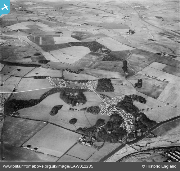
EAW012285 ENGLAND (1947). Part of RAF Burtonwood, Burtonwood, 1947
© Copyright OpenStreetMap contributors and licensed by the OpenStreetMap Foundation. 2025. Cartography is licensed as CC BY-SA.
Details
| Title | [EAW012285] Part of RAF Burtonwood, Burtonwood, 1947 |
| Reference | EAW012285 |
| Date | 26-November-1947 |
| Link | |
| Place name | BURTONWOOD |
| Parish | BURTONWOOD AND WESTBROOK |
| District | |
| Country | ENGLAND |
| Easting / Northing | 358700, 390288 |
| Longitude / Latitude | -2.6213331866102, 53.407529305337 |
| National Grid Reference | SJ587903 |
Pins
 Matt Aldred edob.mattaldred.com |
Friday 28th of March 2025 06:52:04 PM | |
Matt Aldred edob.mattaldred.com |
Friday 28th of March 2025 06:51:24 PM | |
Matt Aldred edob.mattaldred.com |
Friday 28th of March 2025 06:51:10 PM | |
Matt Aldred edob.mattaldred.com |
Friday 28th of March 2025 06:51:00 PM | |
Matt Aldred edob.mattaldred.com |
Friday 28th of March 2025 06:50:46 PM | |
Matt Aldred edob.mattaldred.com |
Friday 28th of March 2025 06:50:35 PM | |
Matt Aldred edob.mattaldred.com |
Friday 28th of March 2025 06:50:23 PM | |
Matt Aldred edob.mattaldred.com |
Friday 28th of March 2025 06:50:07 PM | |
Matt Aldred edob.mattaldred.com |
Friday 28th of March 2025 06:49:56 PM | |
 cptpies |
Monday 6th of January 2014 11:42:18 AM | |
 Class31 |
Friday 13th of December 2013 09:50:48 AM | |
Class31 |
Friday 13th of December 2013 09:49:38 AM | |
Class31 |
Friday 13th of December 2013 09:47:10 AM | |
Class31 |
Friday 13th of December 2013 09:46:27 AM | |
Class31 |
Friday 13th of December 2013 09:45:44 AM | |
Class31 |
Friday 13th of December 2013 09:44:08 AM | |
Class31 |
Friday 13th of December 2013 09:12:23 AM |
User Comment Contributions
 RAF Burtonwood dispersed site with many blast shelters. |
cptpies |
Monday 6th of January 2014 11:42:35 AM |