
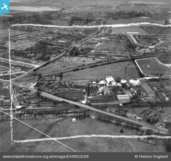
EAW013199 ENGLAND (1948). The P.I.M. Board Company Ltd, Staines Road East, Hanbury Road and environs, Sunbury, 1948. This image has been produced from a print marked by Aerofilms Ltd for photo editing.
© Copyright OpenStreetMap contributors and licensed by the OpenStreetMap Foundation. 2025. Cartography is licensed as CC BY-SA.
Nearby Images (25)
EAW013199

EAW013197

EAW013411

EAW013198

EAW013194

EAW013203

EAW013412

EAW013421

EAW013413

EAW013205

EAW013195

EAW013196

EAW013201

EAW013419

EAW013417

EAW013422

EAW013416

EAW013423

EAW013204

EAW013200

EAW013202

EAW013415

EAW013414

EAW013424

EAW013420

Details
| Title | [EAW013199] The P.I.M. Board Company Ltd, Staines Road East, Hanbury Road and environs, Sunbury, 1948. This image has been produced from a print marked by Aerofilms Ltd for photo editing. |
| Reference | EAW013199 |
| Date | 11-February-1948 |
| Link | |
| Place name | SUNBURY |
| Parish | |
| District | |
| Country | ENGLAND |
| Easting / Northing | 510170, 170220 |
| Longitude / Latitude | -0.41541054341478, 51.419781056655 |
| National Grid Reference | TQ102702 |
Pins
 Matt Aldred edob.mattaldred.com |
Monday 5th of April 2021 04:17:14 PM |