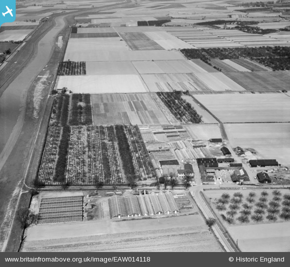
EAW014118 ENGLAND (1948). Floral Farm and the R. H. Bath Ltd Floral Farms site, West Walton, 1948
© Copyright OpenStreetMap contributors and licensed by the OpenStreetMap Foundation. 2025. Cartography is licensed as CC BY-SA.
Details
| Title | [EAW014118] Floral Farm and the R. H. Bath Ltd Floral Farms site, West Walton, 1948 |
| Reference | EAW014118 |
| Date | 25-March-1948 |
| Link | |
| Place name | WEST WALTON |
| Parish | WALSOKEN |
| District | |
| Country | ENGLAND |
| Easting / Northing | 545913, 311974 |
| Longitude / Latitude | 0.15891141746932, 52.685431755679 |
| National Grid Reference | TF459120 |


![[EAW014118] Floral Farm and the R. H. Bath Ltd Floral Farms site, West Walton, 1948](http://britainfromabove.org.uk/sites/all/libraries/aerofilms-images/public/100x100/EAW/014/EAW014118.jpg)
![[EAW014108] Floral Farm and the R. H. Bath Ltd Floral Farms site, West Walton, 1948](http://britainfromabove.org.uk/sites/all/libraries/aerofilms-images/public/100x100/EAW/014/EAW014108.jpg)
![[EAW014119] The R. H. Bath Ltd Floral Farms site and a Type 22 pillbox off First Marsh Road, West Walton, 1948](http://britainfromabove.org.uk/sites/all/libraries/aerofilms-images/public/100x100/EAW/014/EAW014119.jpg)
