
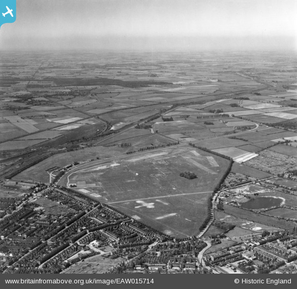
EAW015714 ENGLAND (1948). The racecourse on West Common, Lincoln, from the south-east, 1948. This image has been produced from a print.
© Copyright OpenStreetMap contributors and licensed by the OpenStreetMap Foundation. 2025. Cartography is licensed as CC BY-SA.
Nearby Images (5)
EAW015714

EAW015712

EAW007169

EAW007172

EAW015713

Details
| Title | [EAW015714] The racecourse on West Common, Lincoln, from the south-east, 1948. This image has been produced from a print. |
| Reference | EAW015714 |
| Date | 18-May-1948 |
| Link | |
| Place name | LINCOLN |
| Parish | |
| District | |
| Country | ENGLAND |
| Easting / Northing | 496641, 372098 |
| Longitude / Latitude | -0.55185059093082, 53.236826081769 |
| National Grid Reference | SK966721 |
Pins
 redmist |
Thursday 10th of March 2022 06:54:34 PM |