
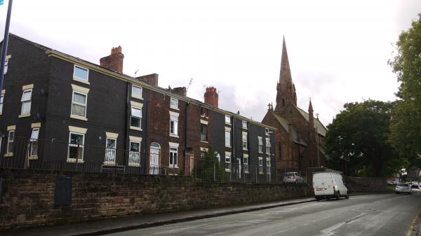
EAW020502 ENGLAND (1948). Ditton Marsh, Widnes, 1948. This image was marked by Aerofilms Ltd for photo editing.

© Copyright OpenStreetMap contributors and licensed by the OpenStreetMap Foundation. 2025. Cartography is licensed as CC BY-SA.
Nearby Images (8)
EAW020502

EAW002730

EAW002732

EAW002731

EAW002729

EAW020503

EAW020510

EAW002733

Details
| Title | [EAW020502] Ditton Marsh, Widnes, 1948. This image was marked by Aerofilms Ltd for photo editing. |
| Reference | EAW020502 |
| Date | 10-November-1948 |
| Link | |
| Place name | WIDNES |
| Parish | |
| District | |
| Country | ENGLAND |
| Easting / Northing | 349640, 384438 |
| Longitude / Latitude | -2.7566905921558, 53.354157606562 |
| National Grid Reference | SJ496844 |
Pins
 Bottom Yard |
Friday 11th of October 2024 12:11:45 PM | |
Bottom Yard |
Friday 11th of October 2024 12:08:17 PM | |
redmist |
Tuesday 21st of July 2020 11:09:27 PM | |
redmist |
Tuesday 21st of July 2020 11:08:47 PM | |
redmist |
Tuesday 21st of July 2020 11:08:23 PM | |
redmist |
Tuesday 21st of July 2020 11:07:58 PM | |
redmist |
Tuesday 21st of July 2020 11:07:29 PM | |
Bottom Yard |
Friday 18th of January 2019 06:03:13 PM | |
Bottom Yard |
Friday 18th of January 2019 05:49:12 PM | |
Bottom Yard |
Friday 18th of January 2019 05:47:36 PM | |
Bottom Yard |
Friday 18th of January 2019 05:45:12 PM | |
 Class31 |
Thursday 25th of June 2015 10:28:30 AM | |
dave beesley |
Wednesday 24th of June 2015 11:43:10 PM | |
dave beesley |
Wednesday 24th of June 2015 11:41:56 PM |
User Comment Contributions
 Silver Jubilee Bridge or Runcorn Bridge, 28/05/2015 |
Class31 |
Thursday 25th of June 2015 10:27:13 AM |