
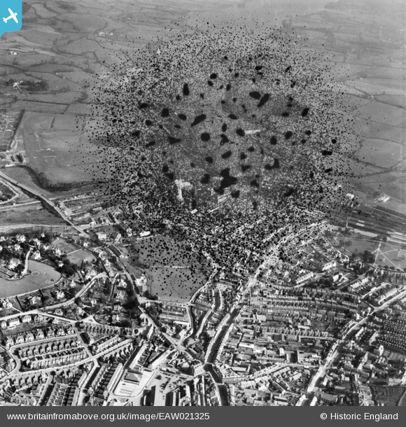
EAW021325 ENGLAND (1949). South Devon Cricket Ground and environs, Newton Abbot, 1949. This image has been produced from a damaged negative.
© Copyright OpenStreetMap contributors and licensed by the OpenStreetMap Foundation. 2025. Cartography is licensed as CC BY-SA.
Nearby Images (12)
EAW021325

EAW021327

EAW021323

EAW021320

EAW021321

EAW021318

EAW021326

EAW021317

EAW021324

EAW021319

EAW021322

EPW039816

Details
| Title | [EAW021325] South Devon Cricket Ground and environs, Newton Abbot, 1949. This image has been produced from a damaged negative. |
| Reference | EAW021325 |
| Date | 9-March-1949 |
| Link | |
| Place name | NEWTON ABBOT |
| Parish | NEWTON ABBOT |
| District | |
| Country | ENGLAND |
| Easting / Northing | 286606, 71594 |
| Longitude / Latitude | -3.6001682317492, 50.532523435801 |
| National Grid Reference | SX866716 |


