
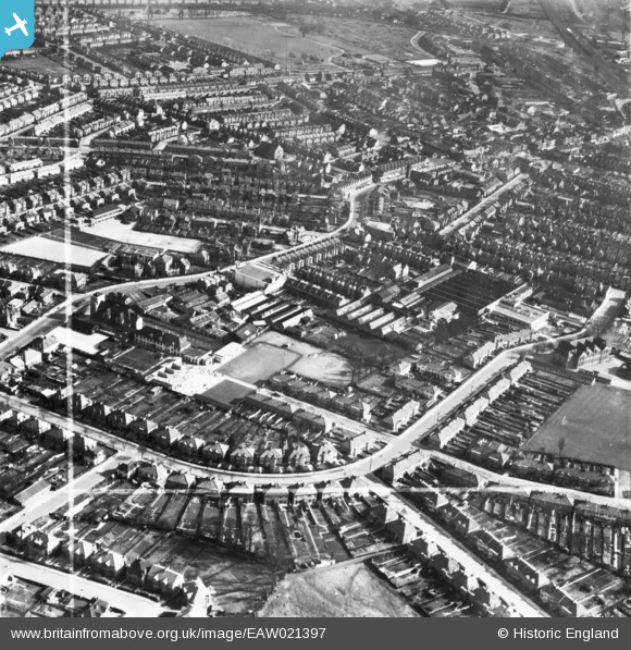
EAW021397 ENGLAND (1949). Whitefriars Avenue, High Street and environs, Wealdstone, 1949. This image has been produced from a print marked by Aerofilms Ltd for photo editing.
© Copyright OpenStreetMap contributors and licensed by the OpenStreetMap Foundation. 2025. Cartography is licensed as CC BY-SA.
Nearby Images (10)
EAW021397

EAW021392

EAW021400
, Wealdstone, 1949. This image has been produced from a damaged negative.")
EAW021399

EAW021396

EAW021395

EAW021394

EAW021398

EAW021393

EPW053689

Details
| Title | [EAW021397] Whitefriars Avenue, High Street and environs, Wealdstone, 1949. This image has been produced from a print marked by Aerofilms Ltd for photo editing. |
| Reference | EAW021397 |
| Date | 15-March-1949 |
| Link | |
| Place name | WEALDSTONE |
| Parish | |
| District | |
| Country | ENGLAND |
| Easting / Northing | 515164, 190188 |
| Longitude / Latitude | -0.33708975038977, 51.598274984151 |
| National Grid Reference | TQ152902 |
Pins
 Sweet Pete |
Sunday 31st of May 2015 12:37:15 PM | |
Sweet Pete |
Sunday 31st of May 2015 12:36:12 PM | |
Sweet Pete |
Sunday 31st of May 2015 12:35:35 PM | |
Sweet Pete |
Sunday 31st of May 2015 12:34:16 PM | |
Sweet Pete |
Sunday 31st of May 2015 12:33:42 PM |