
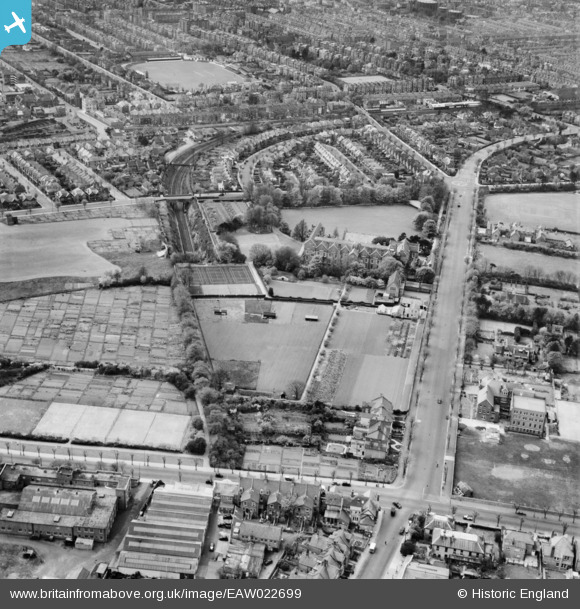
EAW022699 ENGLAND (1949). Convent of the Sacred Heart School, The Upper Drive and environs, Hove, 1949
© Copyright OpenStreetMap contributors and licensed by the OpenStreetMap Foundation. 2025. Cartography is licensed as CC BY-SA.
Nearby Images (6)
EAW022699

EPW022696

EAW022696

EAW022698

EAW022695

EAW022697

Details
| Title | [EAW022699] Convent of the Sacred Heart School, The Upper Drive and environs, Hove, 1949 |
| Reference | EAW022699 |
| Date | 25-April-1949 |
| Link | |
| Place name | HOVE |
| Parish | |
| District | |
| Country | ENGLAND |
| Easting / Northing | 529849, 105761 |
| Longitude / Latitude | -0.15574065530863, 50.836233523215 |
| National Grid Reference | TQ298058 |
Pins
 Alan McFaden |
Sunday 31st of August 2014 03:41:07 PM | |
Alan McFaden |
Sunday 31st of August 2014 03:40:01 PM | |
Alan McFaden |
Sunday 31st of August 2014 03:38:51 PM | |
Alan McFaden |
Sunday 31st of August 2014 03:38:23 PM | |
Alan McFaden |
Wednesday 13th of August 2014 03:31:23 PM | |
Alan McFaden |
Wednesday 13th of August 2014 03:30:28 PM | |
Alan McFaden |
Wednesday 13th of August 2014 03:29:41 PM | |
Alan McFaden |
Wednesday 13th of August 2014 03:29:06 PM | |
 gruntie |
Wednesday 4th of June 2014 08:06:12 AM | |
gruntie |
Wednesday 21st of May 2014 07:19:26 PM | |
gruntie |
Wednesday 21st of May 2014 07:18:21 PM |


User Comment Contributions
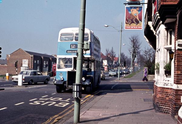
 The Dyke PH 2014 |
Alan McFaden |
Sunday 31st of August 2014 03:39:23 PM |