EAW023147 ENGLAND (1949). Chestfield Filling Station off Thanet Way, Chestfield, 1949. This image was marked by Aerofilms Ltd for photo editing.

© Copyright OpenStreetMap contributors and licensed by the OpenStreetMap Foundation. 2025. Cartography is licensed as CC BY-SA.
Nearby Images (5)
EAW023147

EAW023146

EAW023148

EAW023144

EAW023145

Details
| Title | [EAW023147] Chestfield Filling Station off Thanet Way, Chestfield, 1949. This image was marked by Aerofilms Ltd for photo editing. |
| Reference | EAW023147 |
| Date | 11-May-1949 |
| Link | |
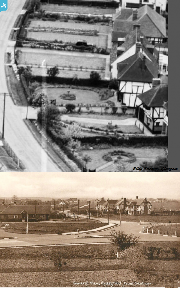
| Place name | CHESTFIELD |
| Parish | CHESTFIELD |
| District | |
| Country | ENGLAND |
| Easting / Northing | 613669, 166722 |
| Longitude / Latitude | 1.0693836708282, 51.358818937813 |
| National Grid Reference | TR137667 |
Pins
 Sparky |
Monday 28th of August 2017 11:59:31 AM | |
Sparky |
Monday 28th of August 2017 11:58:37 AM | |
Sparky |
Monday 28th of August 2017 11:57:50 AM | |
Sparky |
Monday 28th of August 2017 11:56:49 AM | |
Sparky |
Monday 28th of August 2017 11:56:10 AM | |
 Billy Turner |
Tuesday 16th of May 2017 07:37:56 PM | |
 |
Billy Turner |
Tuesday 10th of May 2016 05:18:52 PM |
 |
Billy Turner |
Tuesday 10th of May 2016 05:13:04 PM |