
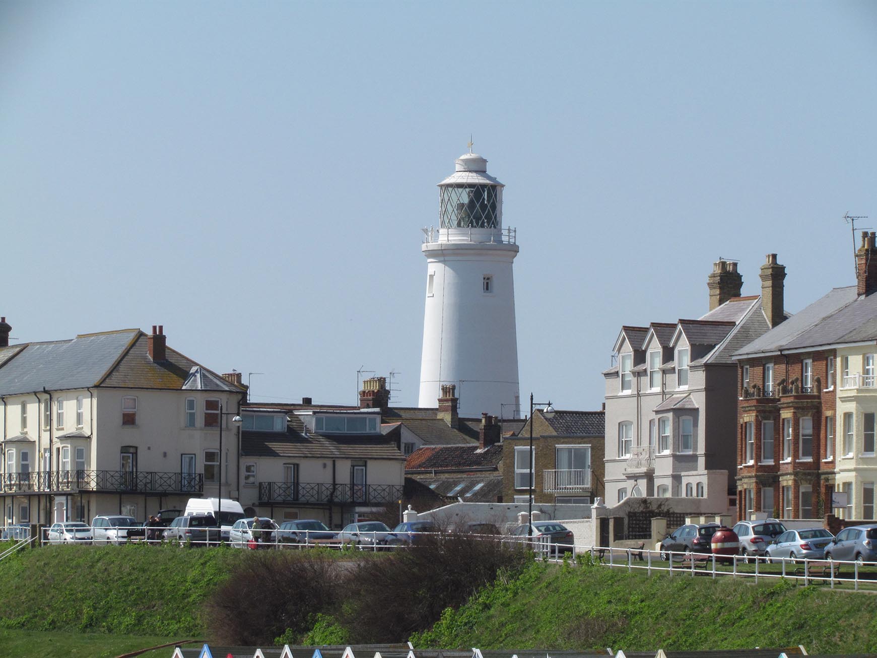
EAW024297 ENGLAND (1949). The town, Southwold, from the south-east, 1949

© Copyright OpenStreetMap contributors and licensed by the OpenStreetMap Foundation. 2025. Cartography is licensed as CC BY-SA.
Nearby Images (4)
EAW024297

EAW038325

EPW001929

EAW038326

Details
| Title | [EAW024297] The town, Southwold, from the south-east, 1949 |
| Reference | EAW024297 |
| Date | 4-July-1949 |
| Link | |
| Place name | SOUTHWOLD |
| Parish | SOUTHWOLD |
| District | |
| Country | ENGLAND |
| Easting / Northing | 651086, 276367 |
| Longitude / Latitude | 1.6853906416519, 52.327449816069 |
| National Grid Reference | TM511764 |
Pins
 Chris Fry, Barcelona |
Thursday 2nd of April 2020 12:55:35 PM | |
John W |
Monday 6th of March 2017 05:40:09 PM | |
Sedgy49 |
Sunday 10th of August 2014 05:44:13 PM |
User Comment Contributions
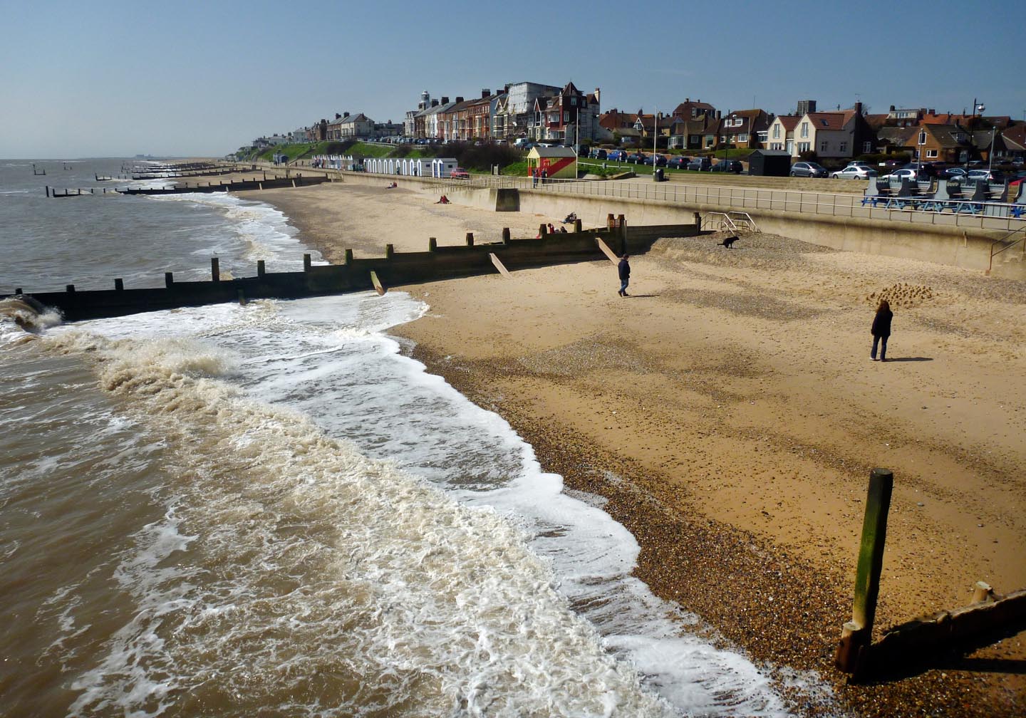 Southwold Beach |
 Alan McFaden |
Thursday 20th of November 2014 09:26:10 AM |
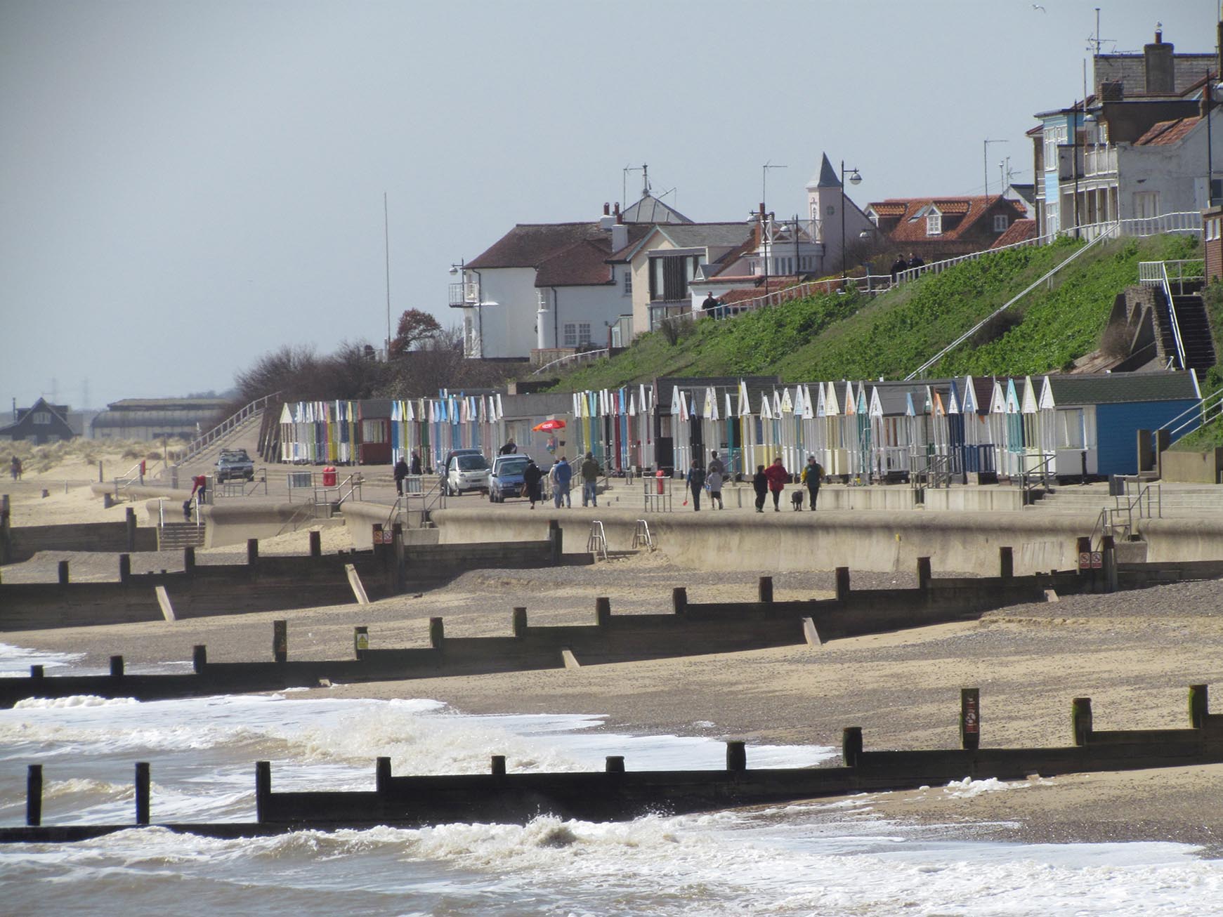 Southwold Beach |
Alan McFaden |
Thursday 20th of November 2014 09:25:50 AM |
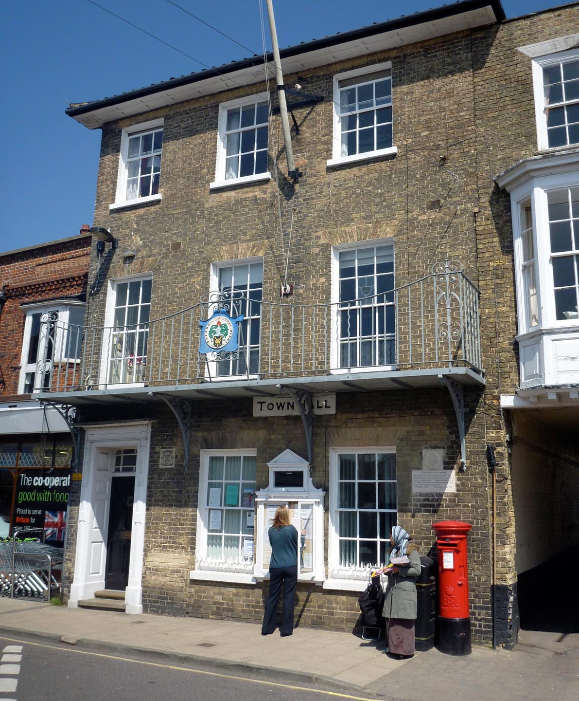 Southwold Town Hall |
Alan McFaden |
Thursday 20th of November 2014 09:25:29 AM |
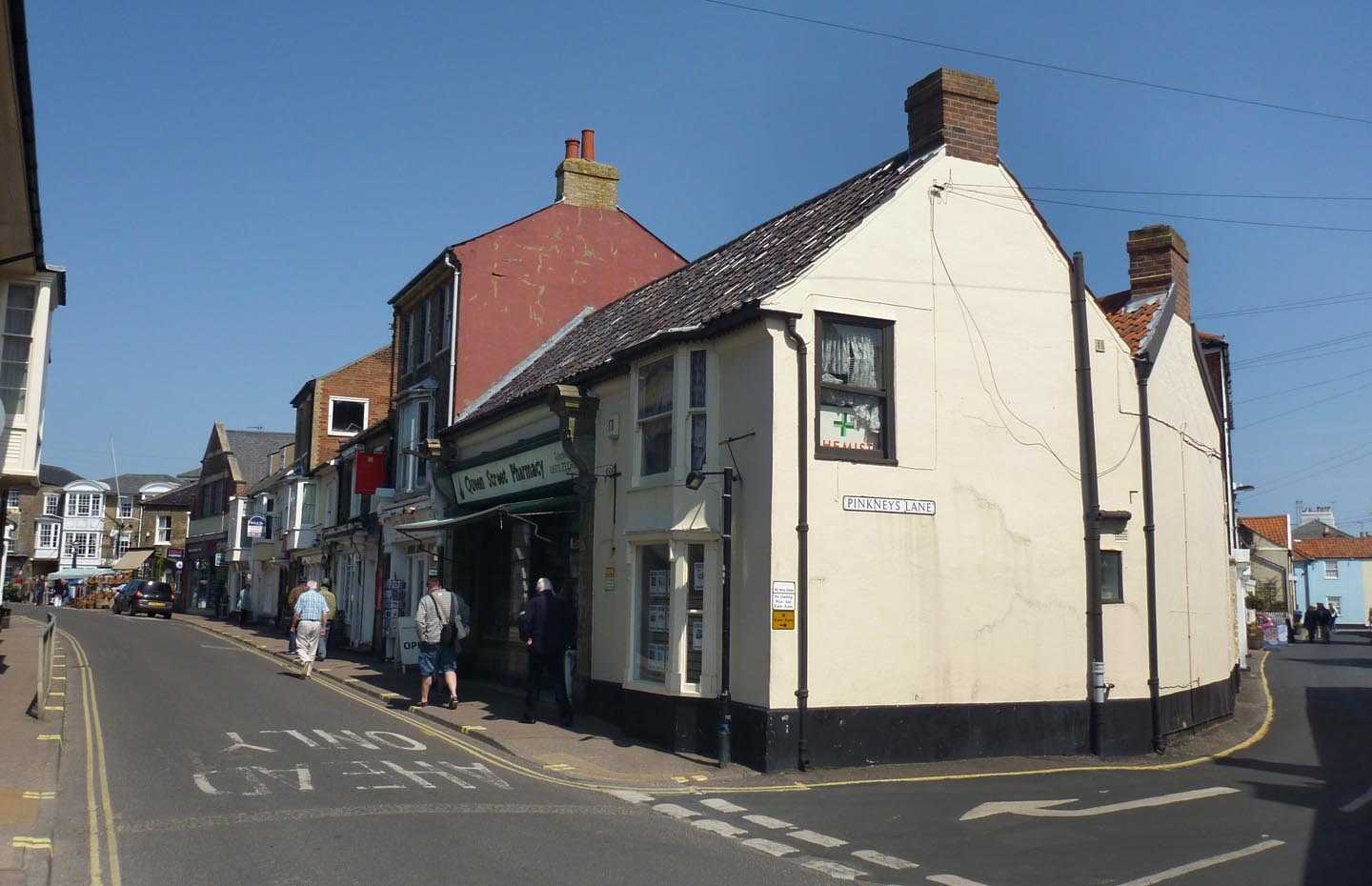 Southwold |
Alan McFaden |
Thursday 20th of November 2014 09:24:47 AM |
 Southwold Central Market |
Alan McFaden |
Thursday 20th of November 2014 09:24:26 AM |
 Southwold Lighthouse |
Alan McFaden |
Thursday 20th of November 2014 09:23:52 AM |