
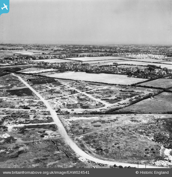
EAW024541 ENGLAND (1949). Scrap processing on the site of Cannock Chase Collieries, Chasetown, from the south-west, 1949. This image has been produced from a print.
© Copyright OpenStreetMap contributors and licensed by the OpenStreetMap Foundation. 2025. Cartography is licensed as CC BY-SA.
Nearby Images (9)
EAW024541

EAW024533

EAW024535

EAW024532

EAW024537

EAW024536

EAW024540

EAW024542

EPW015118

Details
| Title | [EAW024541] Scrap processing on the site of Cannock Chase Collieries, Chasetown, from the south-west, 1949. This image has been produced from a print. |
| Reference | EAW024541 |
| Date | 8-July-1949 |
| Link | |
| Place name | CHASETOWN |
| Parish | BURNTWOOD |
| District | |
| Country | ENGLAND |
| Easting / Northing | 404140, 308523 |
| Longitude / Latitude | -1.9387648001092, 52.674049808039 |
| National Grid Reference | SK041085 |
Pins
 areed |
Thursday 23rd of April 2020 09:33:34 PM | |
areed |
Thursday 23rd of April 2020 09:32:46 PM | |
areed |
Thursday 23rd of April 2020 09:31:19 PM |