
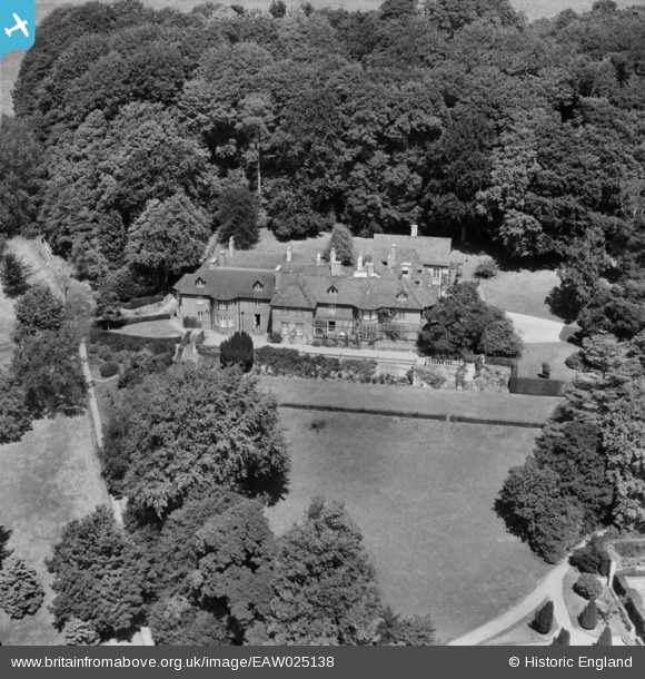
EAW025138 ENGLAND (1949). Barley Wood, Wrington, 1949
© Copyright OpenStreetMap contributors and licensed by the OpenStreetMap Foundation. 2025. Cartography is licensed as CC BY-SA.
Nearby Images (6)
EAW025138

EAW025139

EAW025140

EAW025141

EAW025137

EAW025136

Details
| Title | [EAW025138] Barley Wood, Wrington, 1949 |
| Reference | EAW025138 |
| Date | 25-July-1949 |
| Link | |
| Place name | WRINGTON |
| Parish | WRINGTON |
| District | |
| Country | ENGLAND |
| Easting / Northing | 347941, 163021 |
| Longitude / Latitude | -2.7478346520649, 51.363367161426 |
| National Grid Reference | ST479630 |
Pins
Be the first to add a comment to this image!