
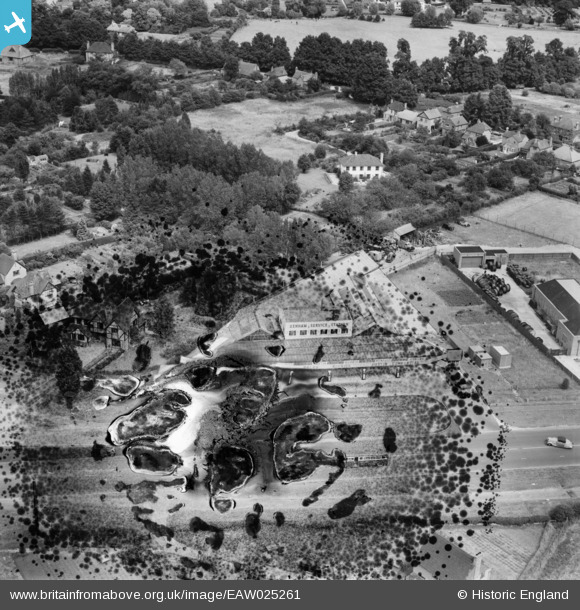
EAW025261 ENGLAND (1949). Denham Service Station, Denham, 1949. This image has been produced from a damaged negative.
© Copyright OpenStreetMap contributors and licensed by the OpenStreetMap Foundation. 2025. Cartography is licensed as CC BY-SA.
Nearby Images (7)
EAW025261

EAW025264

EAW025262

EAW025265

EAW025263

EAW025267

EAW025266

Details
| Title | [EAW025261] Denham Service Station, Denham, 1949. This image has been produced from a damaged negative. |
| Reference | EAW025261 |
| Date | 20-July-1949 |
| Link | |
| Place name | DENHAM |
| Parish | DENHAM |
| District | |
| Country | ENGLAND |
| Easting / Northing | 503755, 186654 |
| Longitude / Latitude | -0.50281067921231, 51.568724479857 |
| National Grid Reference | TQ038867 |
Pins
 |
 Billy Turner |
Thursday 6th of October 2016 10:39:56 PM |
Billy Turner |
Thursday 6th of October 2016 08:38:01 PM | |
 moses72 |
Thursday 16th of October 2014 03:05:03 PM | |
moses72 |
Monday 14th of July 2014 01:36:08 PM | |
moses72 |
Monday 14th of July 2014 01:19:41 PM | |
CRB |
Saturday 1st of March 2014 10:50:47 PM | |
moses72 |
Friday 20th of December 2013 04:21:54 PM |

User Comment Contributions
There are now undamaged photos online in this series. |
moses72 |
Wednesday 19th of November 2014 02:04:13 PM |