
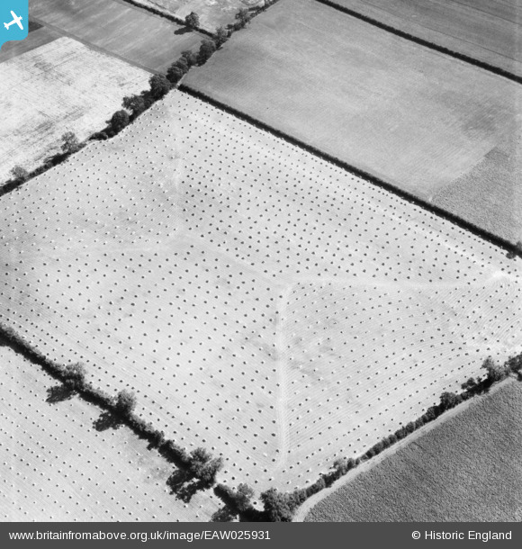
EAW025931 ENGLAND (1949). Harvested fields near Carlton Grange, Carlton Curlieu, 1949
© Copyright OpenStreetMap contributors and licensed by the OpenStreetMap Foundation. 2025. Cartography is licensed as CC BY-SA.
Nearby Images (2)
EAW025931

EAW025930

Details
| Title | [EAW025931] Harvested fields near Carlton Grange, Carlton Curlieu, 1949 |
| Reference | EAW025931 |
| Date | 15-August-1949 |
| Link | |
| Place name | CARLTON CURLIEU |
| Parish | CARLTON CURLIEU |
| District | |
| Country | ENGLAND |
| Easting / Northing | 470703, 297344 |
| Longitude / Latitude | -0.95671064249272, 52.568961599543 |
| National Grid Reference | SP707973 |
Pins
 K9-Q |
Tuesday 1st of December 2015 07:32:33 PM |
User Comment Contributions
Thank you for the location. We'll update the catalogue and post the new data here in due course. Yours, Katy Britain from Above Cataloguing Team Leader |
Katy Whitaker |
Thursday 6th of March 2014 12:02:01 PM |
View is looking south |
 Class31 |
Sunday 23rd of February 2014 05:12:14 PM |
Eureka |
Class31 |
Sunday 23rd of February 2014 05:11:02 PM |
This field is also visible in EAW025930 |
TomRobin |
Saturday 11th of January 2014 10:08:56 AM |
EAW025927 is of opencast workings at Smalley. See EAW025928 EAW025929 EAW025930 EAW025932 EAW025933 EAW025934 |
TomRobin |
Thursday 2nd of January 2014 06:21:32 PM |