
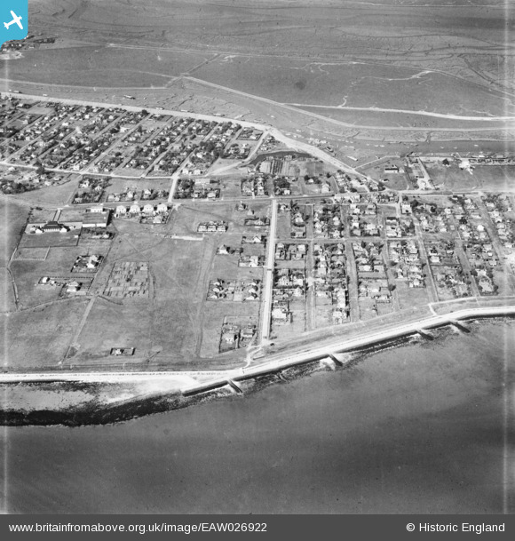
EAW026922 ENGLAND (1949). Marine Parade and the surrounding residential area, Canvey Island, 1949
© Copyright OpenStreetMap contributors and licensed by the OpenStreetMap Foundation. 2025. Cartography is licensed as CC BY-SA.
Nearby Images (2)
EAW026922

EAW026924

Details
| Title | [EAW026922] Marine Parade and the surrounding residential area, Canvey Island, 1949 |
| Reference | EAW026922 |
| Date | 2-October-1949 |
| Link | |
| Place name | CANVEY ISLAND |
| Parish | CANVEY ISLAND |
| District | |
| Country | ENGLAND |
| Easting / Northing | 581696, 183009 |
| Longitude / Latitude | 0.6190056009307, 51.516256800963 |
| National Grid Reference | TQ817830 |
Pins
 cptpies |
Monday 26th of February 2018 12:46:31 PM | |
Linden lea |
Tuesday 21st of June 2016 05:20:22 PM |