
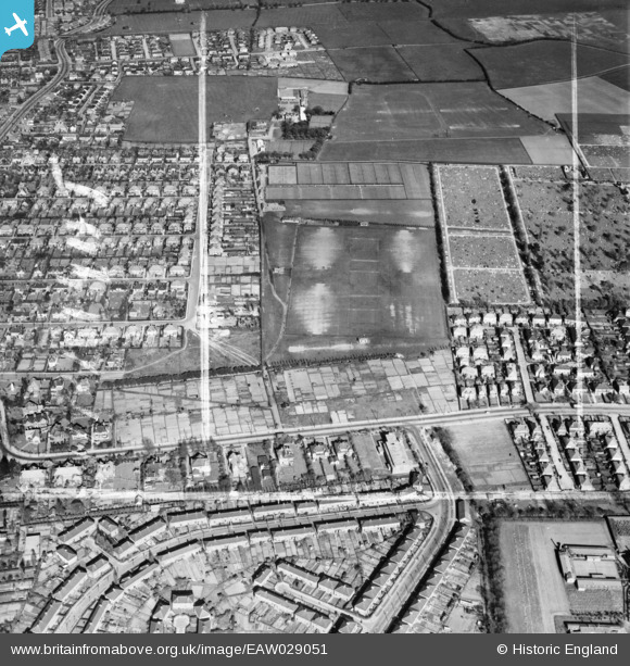
EAW029051 ENGLAND (1950). Barrett Recreation Ground, Wellow, 1950. This image was marked by Aerofilms Ltd for photo editing.
© Copyright OpenStreetMap contributors and licensed by the OpenStreetMap Foundation. 2025. Cartography is licensed as CC BY-SA.
Nearby Images (5)
EAW029051

EAW029050

EAW029053

EAW029049

EAW029052

Details
| Title | [EAW029051] Barrett Recreation Ground, Wellow, 1950. This image was marked by Aerofilms Ltd for photo editing. |
| Reference | EAW029051 |
| Date | 10-May-1950 |
| Link | |
| Place name | WELLOW |
| Parish | |
| District | |
| Country | ENGLAND |
| Easting / Northing | 526684, 407626 |
| Longitude / Latitude | -0.087641184957678, 53.549715716691 |
| National Grid Reference | TA267076 |
Pins
 Matt Aldred edob.mattaldred.com |
Monday 6th of March 2023 04:57:56 PM | |
 wadey |
Sunday 22nd of April 2018 03:38:11 PM | |
wadey |
Sunday 22nd of April 2018 03:37:40 PM |