
EAW029127 ENGLAND (1950). Castle Farm, Shoreham, 1950. This image was marked by Aerofilms Ltd for photo editing.

© Copyright OpenStreetMap contributors and licensed by the OpenStreetMap Foundation. 2025. Cartography is licensed as CC BY-SA.
Nearby Images (5)
EAW029127

EAW029130

EAW029129

EAW029128

EAW029132

Details
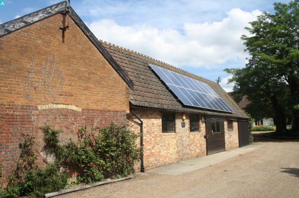
| Title | [EAW029127] Castle Farm, Shoreham, 1950. This image was marked by Aerofilms Ltd for photo editing. |
| Reference | EAW029127 |
| Date | 9-May-1950 |
| Link | |
| Place name | SHOREHAM |
| Parish | SHOREHAM |
| District | |
| Country | ENGLAND |
| Easting / Northing | 552554, 163571 |
| Longitude / Latitude | 0.19093472760577, 51.350210495881 |
| National Grid Reference | TQ526636 |
Pins
 totoro |
Monday 6th of October 2014 06:30:17 PM | |
totoro |
Monday 6th of October 2014 06:27:47 PM | |
totoro |
Monday 6th of October 2014 06:24:49 PM | |
totoro |
Monday 6th of October 2014 06:19:52 PM | |
totoro |
Monday 6th of October 2014 06:08:52 PM | |
Gone2Kent |
Monday 31st of March 2014 06:13:18 PM |
User Comment Contributions
Now widely known as The Hop Shop or the Lavender Farm http://www.hopshop.co.uk/ |
Gone2Kent |
Monday 31st of March 2014 06:10:51 PM |
 A woman and man looking up from near the farmhouse. |
Sarah Hoile |
Monday 10th of March 2014 11:42:38 AM |