
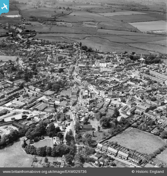
EAW029736 ENGLAND (1950). St Peter's Church and the town, Sudbury, 1950
© Copyright OpenStreetMap contributors and licensed by the OpenStreetMap Foundation. 2025. Cartography is licensed as CC BY-SA.
Nearby Images (16)
EAW029736

EPW001739

EAW029735

EPW025896

EPW025900

EAW042074

EPW025895

EAW042076

EPW001737

EAW042075

EAW042078

EAW042077

EAW042080

EAW042079

EAW042085

EAW042084

Details
| Title | [EAW029736] St Peter's Church and the town, Sudbury, 1950 |
| Reference | EAW029736 |
| Date | 30-May-1950 |
| Link | |
| Place name | SUDBURY |
| Parish | SUDBURY |
| District | |
| Country | ENGLAND |
| Easting / Northing | 587365, 241314 |
| Longitude / Latitude | 0.73209052592915, 52.038098762252 |
| National Grid Reference | TL874413 |
Pins
 Matt Aldred edob.mattaldred.com |
Tuesday 7th of January 2020 02:03:26 PM | |
Matt Aldred edob.mattaldred.com |
Tuesday 7th of January 2020 02:02:35 PM |