
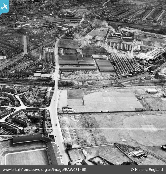
EAW031465 ENGLAND (1950). Factories and sports facilities either side of The Hawthorns Halt, Sandwell, 1950. This image was marked by Aerofilms Ltd for photo editing.
© Copyright OpenStreetMap contributors and licensed by the OpenStreetMap Foundation. 2025. Cartography is licensed as CC BY-SA.
Nearby Images (5)
EAW031465

EAW032652

EPW038509

EPW038508

EAW032653

Details
| Title | [EAW031465] Factories and sports facilities either side of The Hawthorns Halt, Sandwell, 1950. This image was marked by Aerofilms Ltd for photo editing. |
| Reference | EAW031465 |
| Date | 25-July-1950 |
| Link | |
| Place name | SANDWELL |
| Parish | |
| District | |
| Country | ENGLAND |
| Easting / Northing | 402299, 289805 |
| Longitude / Latitude | -1.9661252459927, 52.505770227954 |
| National Grid Reference | SP023898 |
Pins
 Class31 |
Wednesday 19th of August 2015 05:18:00 PM |