
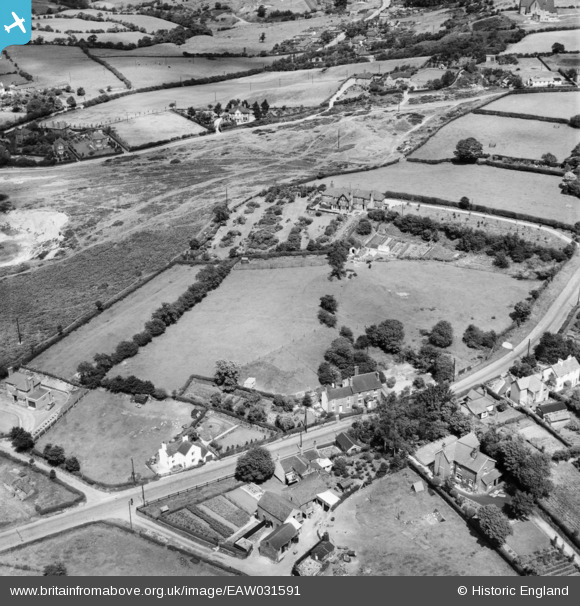
EAW031591 ENGLAND (1950). "Heathers" and environs, Barlaston Common, 1950
© Copyright OpenStreetMap contributors and licensed by the OpenStreetMap Foundation. 2025. Cartography is licensed as CC BY-SA.
Nearby Images (6)
EAW031591

EAW031589

EAW031590

EAW031586

EAW031587

EAW031588

Details
| Title | [EAW031591] "Heathers" and environs, Barlaston Common, 1950 |
| Reference | EAW031591 |
| Date | 27-July-1950 |
| Link | |
| Place name | BARLASTON COMMON |
| Parish | FULFORD |
| District | |
| Country | ENGLAND |
| Easting / Northing | 392629, 339771 |
| Longitude / Latitude | -2.1097304052937, 52.954950086225 |
| National Grid Reference | SJ926398 |
Pins
Be the first to add a comment to this image!