
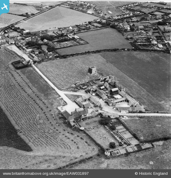
EAW031897 ENGLAND (1950). Abbey Farm and the ruins of St Andrew's Priory, Broomholm, 1950
© Copyright OpenStreetMap contributors and licensed by the OpenStreetMap Foundation. 2025. Cartography is licensed as CC BY-SA.
Nearby Images (4)
EAW031897

EAW031894

EAW031896

EAW031895

Details
| Title | [EAW031897] Abbey Farm and the ruins of St Andrew's Priory, Broomholm, 1950 |
| Reference | EAW031897 |
| Date | 14-August-1950 |
| Link | |
| Place name | BROOMHOLM |
| Parish | BACTON |
| District | |
| Country | ENGLAND |
| Easting / Northing | 634717, 333253 |
| Longitude / Latitude | 1.4859428471143, 52.845211608001 |
| National Grid Reference | TG347333 |
Pins
Be the first to add a comment to this image!