
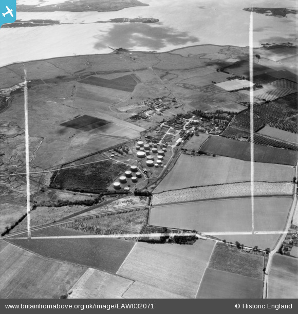
EAW032071 ENGLAND (1950). The Berry Wiggins Oil Refinery, Kingsnorth, 1950. This image was marked by Aerofilms Ltd for photo editing.
© Copyright OpenStreetMap contributors and licensed by the OpenStreetMap Foundation. 2025. Cartography is licensed as CC BY-SA.
Nearby Images (18)
EAW032071

EPW047581

EAW032069

EAW032066

EAW032067

EPW047583

EAW032065

EAW032068

EPW047579

EPW047578

EPW047586

EPW047584

EAW000060

EAW000061

EAW032064

EAW000063

EAW000059

EPW047585

Details
| Title | [EAW032071] The Berry Wiggins Oil Refinery, Kingsnorth, 1950. This image was marked by Aerofilms Ltd for photo editing. |
| Reference | EAW032071 |
| Date | 24-August-1950 |
| Link | |
| Place name | KINGSNORTH |
| Parish | HOO ST. WERBURGH |
| District | |
| Country | ENGLAND |
| Easting / Northing | 580886, 173292 |
| Longitude / Latitude | 0.60236838653373, 51.4292265424 |
| National Grid Reference | TQ809733 |
Pins
 Curtisden |
Friday 25th of July 2014 03:42:00 PM |