
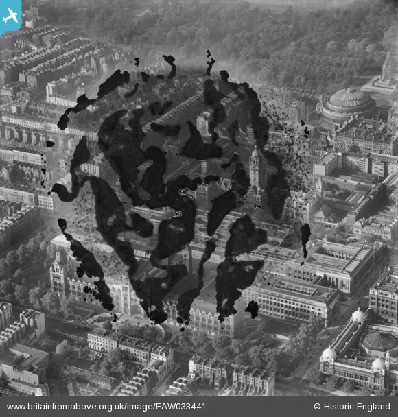
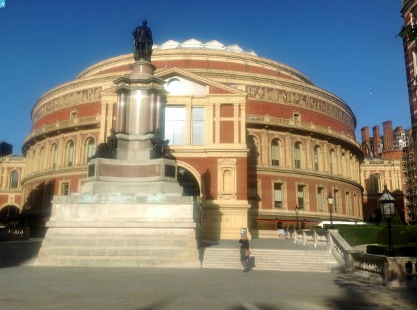
EAW033441 ENGLAND (1950). Albertopolis, Knightsbridge, 1950. This image has been produced from a damaged negative.
© Copyright OpenStreetMap contributors and licensed by the OpenStreetMap Foundation. 2025. Cartography is licensed as CC BY-SA.
Nearby Images (23)
EAW033441

EAW034721

EAW034725

EAW015853

EPW060757

EPW039571

EPW039570

EPW017275

EAW034720

EPW011934

EAW034718

EPR000609A

EPW011937

EAW000553

EPW059339

EAW034719

EAW034724

EAW034723

EAW034722

EPW057068

EPW019016

EPW036286

EAW021737

Details
| Title | [EAW033441] Albertopolis, Knightsbridge, 1950. This image has been produced from a damaged negative. |
| Reference | EAW033441 |
| Date | 12-October-1950 |
| Link | |
| Place name | KNIGHTSBRIDGE |
| Parish | |
| District | |
| Country | ENGLAND |
| Easting / Northing | 526593, 179333 |
| Longitude / Latitude | -0.17605358371332, 51.498258637568 |
| National Grid Reference | TQ266793 |
Pins
 Alan McFaden |
Sunday 12th of October 2014 09:23:36 AM | |
Alan McFaden |
Sunday 12th of October 2014 09:22:38 AM | |
Alan McFaden |
Sunday 12th of October 2014 09:21:32 AM | |
 Class31 |
Wednesday 10th of September 2014 05:25:04 PM | |
Class31 |
Wednesday 10th of September 2014 05:24:12 PM |

User Comment Contributions
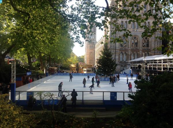
 Kensington Gardens |
Alan McFaden |
Sunday 12th of October 2014 09:24:48 AM |
 Kensington Gardens |
Alan McFaden |
Sunday 12th of October 2014 09:24:19 AM |
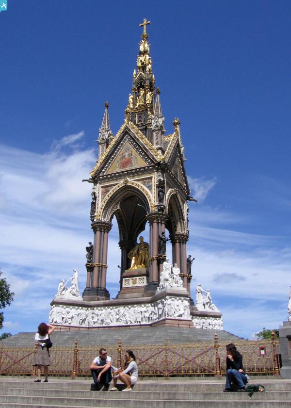
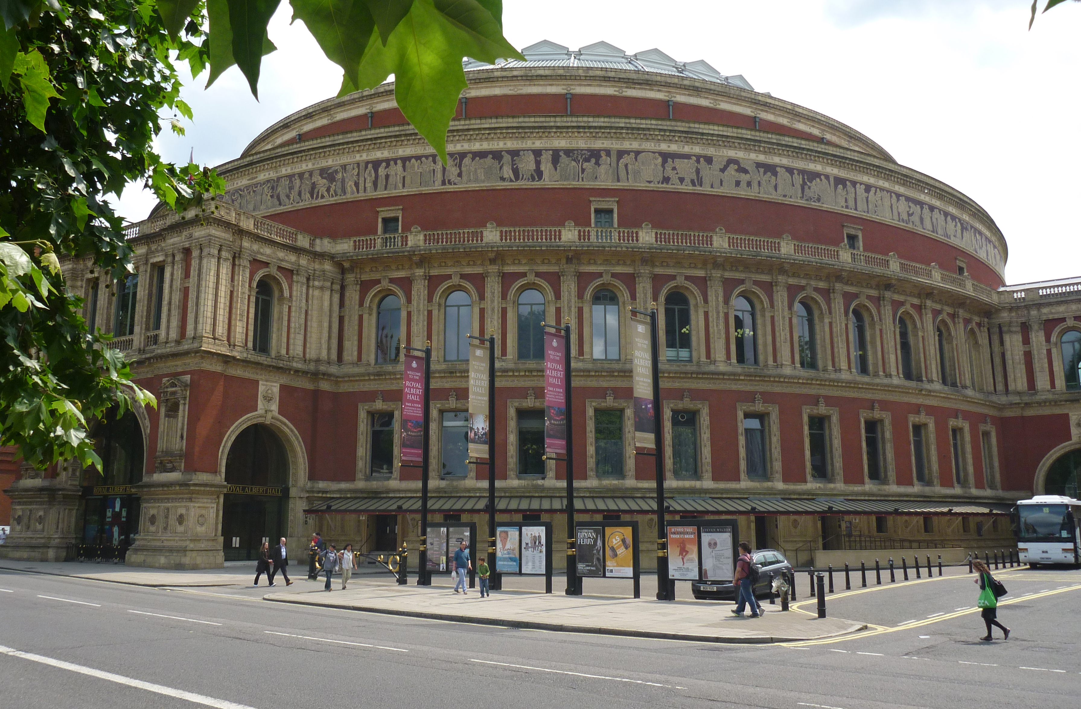 Royal Albert Hall |
Alan McFaden |
Sunday 12th of October 2014 09:20:55 AM |
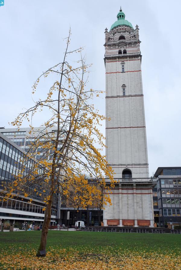
 Natural History Museum |
Alan McFaden |
Sunday 12th of October 2014 09:20:15 AM |
 Natural History Museum |
Alan McFaden |
Sunday 12th of October 2014 09:19:42 AM |
 Natural History Museum |
Alan McFaden |
Sunday 12th of October 2014 09:19:09 AM |