
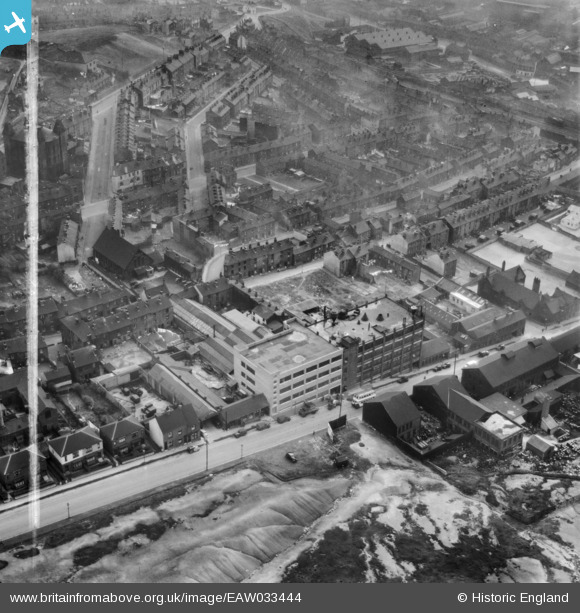
EAW033444 ENGLAND (1950). The Stanley Tool Works on Rutland Road and environs, Sheffield, 1950. This image was marked by Aerofilms Ltd for photo editing.
© Copyright OpenStreetMap contributors and licensed by the OpenStreetMap Foundation. 2025. Cartography is licensed as CC BY-SA.
Nearby Images (8)
EAW033444

EAW033445

EAW033448

EAW033449

EAW033450

EAW033451

EAW033446

EAW033447

Details
| Title | [EAW033444] The Stanley Tool Works on Rutland Road and environs, Sheffield, 1950. This image was marked by Aerofilms Ltd for photo editing. |
| Reference | EAW033444 |
| Date | 12-October-1950 |
| Link | |
| Place name | SHEFFIELD |
| Parish | |
| District | |
| Country | ENGLAND |
| Easting / Northing | 435254, 388886 |
| Longitude / Latitude | -1.4697772401492, 53.395364996966 |
| National Grid Reference | SK353889 |
Pins
 Gabes |
Wednesday 20th of May 2020 09:29:37 PM | |
redmist |
Tuesday 29th of January 2019 12:33:45 PM | |
mannidaze |
Wednesday 10th of December 2014 04:15:30 PM | |
travellingpass |
Wednesday 10th of December 2014 09:42:55 AM | |
Siren |
Thursday 13th of November 2014 07:34:40 PM | |
Siren |
Thursday 13th of November 2014 07:32:42 PM | |
Siren |
Thursday 13th of November 2014 07:31:52 PM |