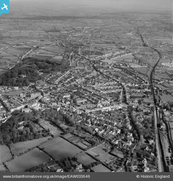
EAW033646 ENGLAND (1950). The town, Camborne, from the south-west, 1950
© Copyright OpenStreetMap contributors and licensed by the OpenStreetMap Foundation. 2025. Cartography is licensed as CC BY-SA.
Nearby Images (9)
EAW033646

EPW021736

EPW009887

EPW059670

EPW009889

EPW021735

EPW021737

EPW021739

EAW033645

Details
| Title | [EAW033646] The town, Camborne, from the south-west, 1950 |
| Reference | EAW033646 |
| Date | 12-October-1950 |
| Link | |
| Place name | CAMBORNE |
| Parish | CAMBORNE |
| District | |
| Country | ENGLAND |
| Easting / Northing | 164618, 39827 |
| Longitude / Latitude | -5.2994816994268, 50.210934807484 |
| National Grid Reference | SW646398 |
Pins
 Class31 |
Monday 10th of August 2015 09:20:11 AM |