
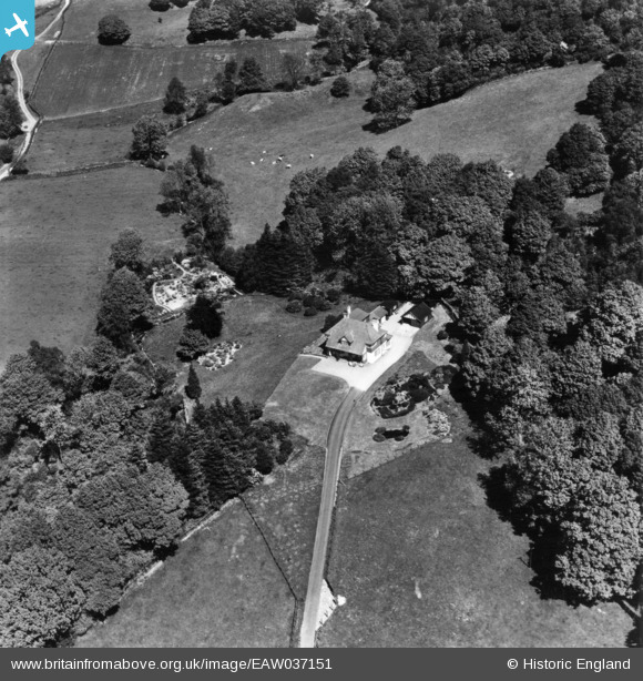
EAW037151 ENGLAND (1951). Righting House, Far Sawrey, 1951. This image has been produced from a print.
© Copyright OpenStreetMap contributors and licensed by the OpenStreetMap Foundation. 2025. Cartography is licensed as CC BY-SA.
Nearby Images (16)
EAW037151

EAW037149

EAW037148

EAW035895

EAW035892

EAW037150

EAW035894

EAW037160

EAW035893

EAW037158

EAW037161

EAW035886

EAW035883

EAW037162

EAW037159

EAW035885

Details
| Title | [EAW037151] Righting House, Far Sawrey, 1951. This image has been produced from a print. |
| Reference | EAW037151 |
| Date | 5-June-1951 |
| Link | |
| Place name | FAR SAWREY |
| Parish | CLAIFE |
| District | |
| Country | ENGLAND |
| Easting / Northing | 337438, 496188 |
| Longitude / Latitude | -2.9627915334827, 54.357228676548 |
| National Grid Reference | SD374962 |
Pins
Be the first to add a comment to this image!