
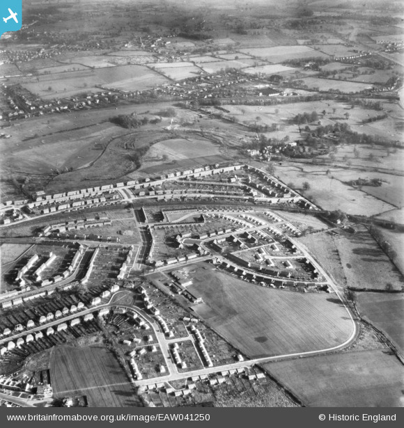
EAW041250 ENGLAND (1951). Development of housing at Creighton Avenue and environs, St Julians, 1951
© Copyright OpenStreetMap contributors and licensed by the OpenStreetMap Foundation. 2025. Cartography is licensed as CC BY-SA.
Nearby Images (2)
EAW041250

EAW030233

Details
| Title | [EAW041250] Development of housing at Creighton Avenue and environs, St Julians, 1951 |
| Reference | EAW041250 |
| Date | 14-November-1951 |
| Link | |
| Place name | ST JULIANS |
| Parish | |
| District | |
| Country | ENGLAND |
| Easting / Northing | 515135, 205578 |
| Longitude / Latitude | -0.3324357538314, 51.736613152129 |
| National Grid Reference | TL151056 |
Pins
Be the first to add a comment to this image!