
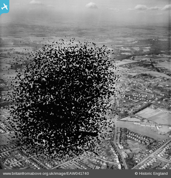
EAW041740 ENGLAND (1952). The village, Burnham, 1952. This image has ben produced from a damaged negative.
© Copyright OpenStreetMap contributors and licensed by the OpenStreetMap Foundation. 2025. Cartography is licensed as CC BY-SA.
Nearby Images (2)
EAW041740

EAW041739

Details
| Title | [EAW041740] The village, Burnham, 1952. This image has ben produced from a damaged negative. |
| Reference | EAW041740 |
| Date | 20-February-1952 |
| Link | |
| Place name | BURNHAM |
| Parish | BURNHAM |
| District | |
| Country | ENGLAND |
| Easting / Northing | 492963, 182357 |
| Longitude / Latitude | -0.65962705549412, 51.531977667677 |
| National Grid Reference | SU930824 |
