
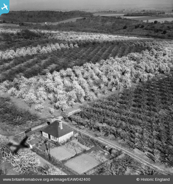
EAW042400 ENGLAND (1952) [Unlocated]. UNLOCATED
© Copyright OpenStreetMap contributors and licensed by the OpenStreetMap Foundation. 2025. Cartography is licensed as CC BY-SA.
Nearby Images (48)
EPW000143

EPW000667

EPW005260

EPW006389
, 1921")
EPW007181

EPW015853

EPW015854

EPW015855

EPW016012

EPW016510

EPW016641

EPW017028

EPW017029

EPW017136

SAW003585

SAW003586

SAW009337

SAW009800

SAW009801

SAW009802

SAW010734

SAW014737

SAW017926

SAW017927

SAW032504

SPW020275

SPW020280

SPW020281

SPW020284

SPW020632

SPW020633

SPW027083

SPW049776

SPW049777

SPW049779

SPW049783

SPW049791

SPW049798

SPW049801

SPW049827

SPW049828

SPW049831

SPW049832

SPW049834

SPW049948

SPW049949

SPW051009

SPW062638

Details
| Title | [EAW042400] UNLOCATED |
| Reference | EAW042400 |
| Date | 17-April-1952 |
| Link | |
| Place name | |
| Parish | |
| District | |
| Country | ENGLAND |
| Easting / Northing | 0, 0 |
| Longitude / Latitude | -7.556448482059, 49.766185796754 |
| National Grid Reference | SV000000 |
Pins
 Class31 |
Tuesday 18th of May 2021 08:54:16 PM | |
Hello Class31, I have been looking for this one and even with your info I cannot find it in the area you suggest on the GE Pro 1940-60 images. Can you give a name for the road in the foreground or other landmark please ? tks. |
 Max |
Wednesday 19th of May 2021 11:27:59 AM |
TomRobin |
Friday 14th of October 2016 05:42:31 PM | |
Class31 |
Friday 15th of August 2014 03:46:17 PM | |
Graeme |
Monday 28th of April 2014 03:31:24 AM | |
Graeme |
Monday 28th of April 2014 03:10:57 AM | |
I agree . This is unlikely to be located near any of the other images on this flight. |
Class31 |
Thursday 8th of May 2014 05:43:09 PM |