
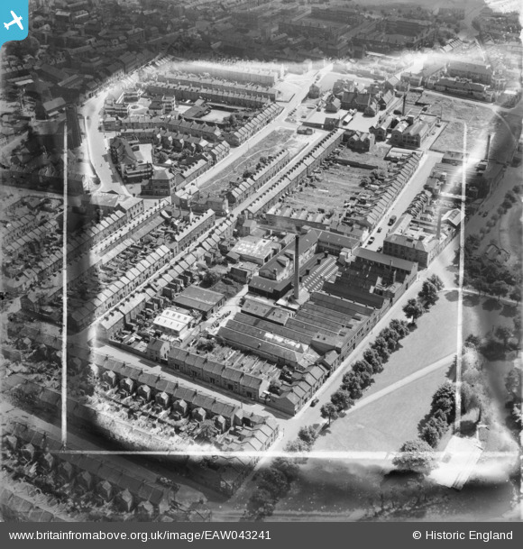
EAW043241 ENGLAND (1952). St Andrew's Tannery, Northampton, 1952. This image has been produced from a damaged negative.
© Copyright OpenStreetMap contributors and licensed by the OpenStreetMap Foundation. 2025. Cartography is licensed as CC BY-SA.
Nearby Images (9)
EAW043241

EAW043236

EAW043239

EAW043237

EAW043242

EAW043234

EAW043235

EAW043238

EAW043240

Details
| Title | [EAW043241] St Andrew's Tannery, Northampton, 1952. This image has been produced from a damaged negative. |
| Reference | EAW043241 |
| Date | 21-May-1952 |
| Link | |
| Place name | NORTHAMPTON |
| Parish | |
| District | |
| Country | ENGLAND |
| Easting / Northing | 474976, 261051 |
| Longitude / Latitude | -0.90180340220648, 52.242135014809 |
| National Grid Reference | SP750611 |
Pins
Be the first to add a comment to this image!